AI image
Arctic's warmest summer since 1950 included the rain that flooded the Susitna Valley
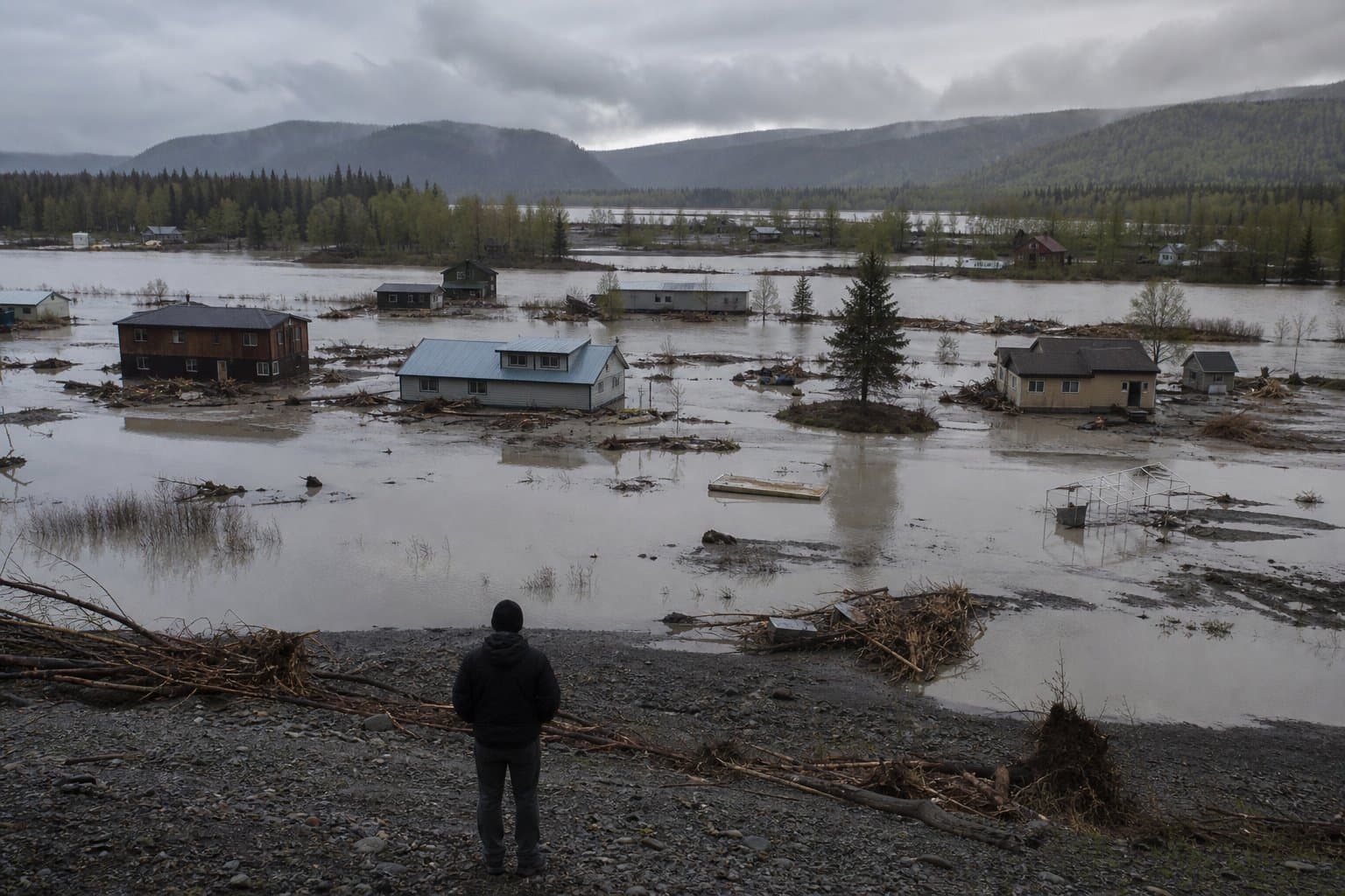
The July rain that flooded low-lying Susitna Valley communities is logged in the Arctic's seasonal climate record as an extreme short-term precipitation event. The Arctic Summer 2026 Climate Review, posted Sept. 8, finds summer 2026 was the warmest for the Arctic since 1950.
About 75 percent of lands and seas north of 60 degrees north ran above the 1991-2020 baseline for June through August. The seasonal average edged out 2016 and 2023. Roughly 12 percent of the Arctic had its warmest summer in the ERA5 reanalysis record, a modeled reconstruction of past weather.
Total Arctic summer precipitation was only 2 percent above the 1991-2020 average. The review attributes the flooding to one-to-five-day totals in specific places, in parts of Southcentral Alaska and in the southern Sakha Republic, Russia.
On the ground in Alaska, that meant two storms between July 20 and 23. The volunteer-run Amber Lake station recorded 3.43 inches over two days. Talkeetna Airport recorded 2.91 inches in the 24 hours ending at 10 a.m. AKDT July 23. The Talkeetna River above town crested just above flood stage, its highest crest since September 2012. The National Weather Service posted flood watches for Skwentna, Willow, Talkeetna, Trapper Creek, Petersville and Chulitna.
"Southcentral was exceptionally wet, with many areas receiving two to three times normal rain," wrote Rick Thoman, climate specialist at the Alaska Center for Climate Assessment and Preparedness, in his Alaska climate summary for July, posted Aug. 5. A University of Alaska Fairbanks climate report published Aug. 21 said several rounds of heavy rain from July 19 to 23 "flooded the community's low-lying areas and caused extensive erosion along the Susitna River." The state and the Matanuska-Susitna Borough both declared emergencies.
Thoman reported in May that Arctic-wide sea ice extent had been running near the lowest level in the 48-year satellite record since mid-November, with the average daily extent from October 2025 through May 2026 the lowest since 1978-79. The annual minimum is a different measure, and it came this month: Thoman wrote Sept. 17 that Arctic-wide sea ice extent likely reached its 2026 low earlier in the week. The preliminary minimum was 4.60 million square kilometers on Sept. 12, tying 2025 for the 11th-lowest extent since 1979. The typical annual minimum has declined 34 percent from the early 1980s average. Both the Northern Sea Route along Russia's north coast and the Northwest Passage through the Canadian Arctic islands were open during the late summer.
The Arctic Report Card has been issued annually since 2006. NOAA's own Report Card page still lists the 2025 edition, its 20th, as the latest and carries nothing on 2026. The American Geophysical Union, CU Boulder, the University of Alaska Fairbanks and Climate.us, which describes itself as the nonprofit successor to NOAA's Climate.gov, are carrying the 2026 edition.
Source: National Snow and Ice Data Center ().
AI-assisted. No editor review is on record for this article. Who is accountable.
Stay informed. Support what matters.
Free, permanent access to local news you can verify. Subscribe to support Maggie AlaskaNews and go ad-free.
Related Coverage
High wind warnings for the northwest coast as Arctic logs warmest summer since 1950
Alaska News · 1w ago
Anchorage ties its wettest July on record as Southcentral soaks
Alaska News · 1mo ago
Alaska's August was warmer than its July, for the fourth time in a century
Alaska News · 5d ago
A tale of two Junes at the top of the world
Alaska News · 2mo ago
Chukchi and Beaufort Seas carry most ice in decades, even as Arctic shrinks
Alaska News · 1mo ago
Comments
Sign in to leave a comment.
No comments yet. Be the first to share your thoughts.