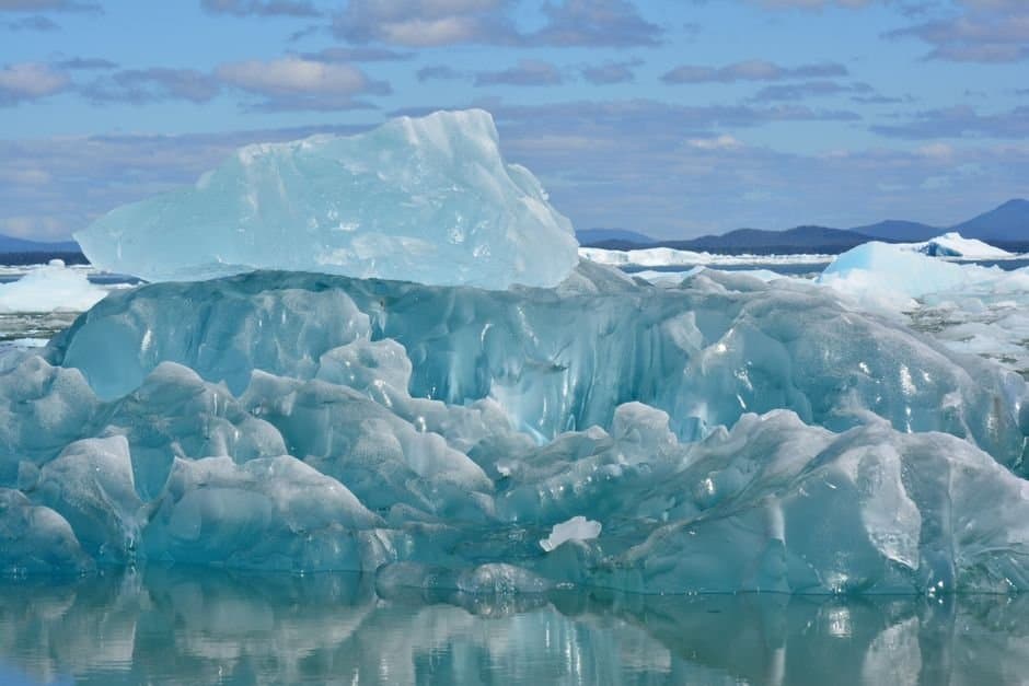
Photo by ATHENEA CODJAMBASSIS ROSSITTO on Pexels · Source
Analysis finds sea ice loss, not El Niño, now drives warm Arctic autumns
The tropical Pacific pattern that forecasters lean on for seasonal outlooks explains less about Arctic autumn temperatures than it once did, according to an analysis of 13 moderate-or-stronger El Niño autumns since 1970 published Wednesday in the Alaska and Arctic Climate Newsletter. The analysis attributes the shift to sea ice loss: open water in September and November releases stored heat around the clock, overwhelming whatever signal El Niño imparts to high-latitude storm tracks.
The newsletter is written by Rick Thoman, a climate specialist at the Alaska Center for Climate Assessment and Policy at the University of Alaska Fairbanks. It is his analysis, not a peer-reviewed study.
His method compares each El Niño autumn against the 30-year baseline in use at the time: autumns in the 1970s against the 1941-70 normals, on up to 2023 against 1991-2020, using ERA5 reanalysis data for the region poleward of 60 degrees North. That adjustment strips out multi-decade warming. What remains is counterintuitive. Across the full record, El Niño correlates with cooler-than-expected Arctic autumns; every one of those cooler cases, however, occurred before 1995. Thoman writes that open water "acts as a heating pad, pumping heat into the atmosphere around the clock," and reads the post-1995 reversal as evidence that the ocean heat source has taken over.
November Arctic-wide sea ice extent shows no consistent tilt above or below its downward trend during El Niño years. Precipitation carries a clearer signal: most of mainland Alaska tilted above normal in the composite.
The event now building is not marginal. The May-July 2026 reading of +1.0 on the Relative Oceanic Niño Index is exactly the threshold Thoman used to select his 13 cases. Since then it has strengthened. The Climate Prediction Center said Aug. 13 that July's Niño-3.4 index reached +1.4 degrees Celsius, that there is a greater than 90 percent chance of a very strong event this fall and winter, and that October through December carries a 69 percent chance of an event exceeding any El Niño since 1950.
That is the tension the analysis leaves open: forecasters expect a possibly historic El Niño in the same season Thoman finds the El Niño signal swamped. Nobody outside the newsletter is quoted on which reading holds.
AI-assisted, reviewed by editors. Spot an error?
Stay informed. Support what matters.
Free, permanent access to local news you can verify. Subscribe to support Melinda Communities.News and go ad-free.
Related Coverage
A strong El Niño is likely this winter, warm and wet for Southern Alaska
Alaska News · 1mo ago · 79% match
Chukchi and Beaufort Seas carry most ice in decades, even as Arctic shrinks
Alaska News · 1mo ago · 77% match
NOAA pulled the plug on its 20-year Arctic climate record — and Alaska's scientists are scrambling to save it
Alaska News · 2w ago · 77% match
Seven straight months below normal: what drove Alaska's chilly first half of 2026
Alaska News · 1mo ago · 77% match
Barents Sea hits record low ice while Beaufort stays locked, splitting Arctic in two
Alaska News · 1mo ago · 76% match
Comments
Sign in to leave a comment.
No comments yet. Be the first to share your thoughts.