AI image
Seven straight months below normal: what drove Alaska's chilly first half of 2026
Alaska just completed its longest unbroken run of below-normal monthly temperatures since the mid-1970s, and a climate analysis published Sunday by the Alaska and Arctic Climate Newsletter explains the atmospheric and oceanic mechanics behind it.
Every month from December 2025 through June 2026 recorded a statewide average temperature below the 1991-2020 baseline, a seven-month streak whose last comparable run was the eight months from August 1975 through March 1976. The January-through-June period ranked as the coolest since 2012 and the second coolest of the 21st century, yet it does not crack the top 20 coldest such stretches since 1950, a measure of how much the baseline itself has shifted upward over decades of warming.
Two Pressure Regimes
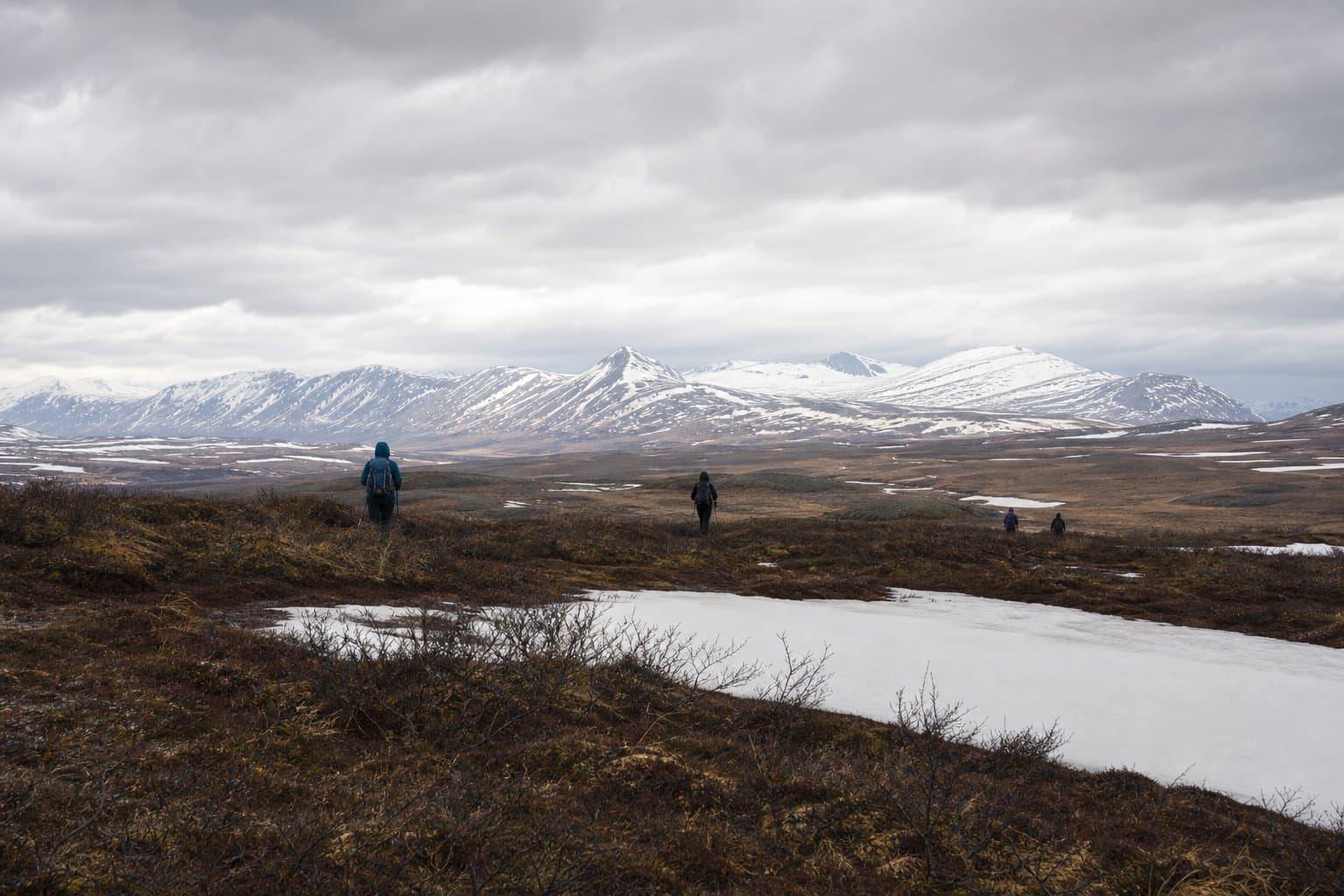
The analysis identifies two distinct pressure regimes operating in sequence. From January through March, exceptionally strong high pressure over the western Bering Sea and the Russian Far East drove cold northwest airflow across mainland Alaska and produced clear skies that allowed valley temperature inversions to persist. The spring pattern was different in character: low pressure dominated the Bering Sea aloft, producing conditions the analysis describes as "not warm" rather than actively frigid, which explains why April and June each came in only 0.3°F below normal. Regional feedbacks reinforced both phases: extensive Bering Sea ice in March and early April cooled sea surface temperatures heading into summer, while snowmelt was more significantly delayed than normal in the Brooks Range and on the North Slope, where a persistent snowpack suppressed surface temperatures compared to bare ground.
Short-Term Variability, Not a Trend Reversal
B. Brettschneider of NWS, whose ERA5 regional analysis code the newsletter credits as invaluable to the work, frames the streak plainly: "Alaska's cool weather since December doesn't reflect any fundamental change in the warming high latitude environment. Rather, intrinsic variability in the ocean-atmosphere system, combined with regional/seasonal scale positive feedback loops, came together to produce a short-term downturn in temperatures across the region." Comparable or larger dips occurred in 1970-71, 1981-82, 1998-99, and 2019-20.
A Local Signal, Not a Hemispheric One
The pan-Arctic picture reinforces that framing. Across all land north of 60°N, the January-through-June 2026 average ran 0.2°F above the 1991-2020 baseline. The cold was real and historically notable for Alaska specifically; it was not a hemispheric signal, and the analysis notes that when the dominant weather pattern shifts, Alaska is likely to be the region running anomalously warm.
Source: Alaska and Arctic Climate Newsletter, Alaska's Chilly 2026.
Made by our human newsroom with AI. How humans and AI work here · Grow with our newsroom
Stay informed. Support what matters.
Free, permanent access to local news you can verify. Subscribe to support Melinda Communities.News and go ad-free.
Related Coverage
A tale of two Junes at the top of the world
Alaska News · 3mo ago
Utqiaġvik records second-coldest May high in 105 years
Alaska News · 4mo ago
As the world burns, Alaska stays cool — a regional weather quirk
Alaska News · 2mo ago
Alaska's August was warmer than its July, for the fourth time in a century
Alaska News · 1mo ago
Anchorage trades summer warmth for a cool, wet stretch
Alaska News · 3mo ago
Comments
Sign in to leave a comment.
No comments yet. Be the first to share your thoughts.