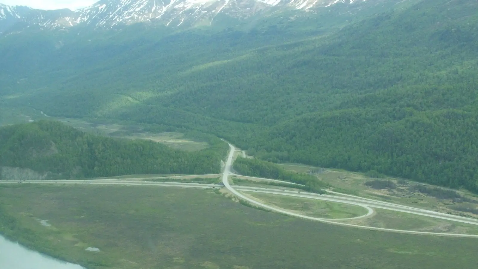
Photo: Jonathan Konrath via Wikimedia Commons · Photo source · CC BY 2.0
AMATS committee to vote again on Anchorage planning boundary after two stalled approvals
The Anchorage Metropolitan Area Transportation Solutions Policy Committee is scheduled to vote Thursday, Nov. 19, on a new federal transportation planning boundary for Anchorage, Chugiak and Eagle River. Federal agencies have set a Dec. 29 deadline to approve it.
The committee approved earlier versions of the boundary twice in 2024. Neither was sent to the governor for signature. Under federal rules, the boundary takes effect once AMATS and the governor agree to it.
The committee's Technical Advisory Committee took up the revised map Nov. 5 and recommended approval with no changes, according to a memo from Executive Director Aaron Jongenelen.
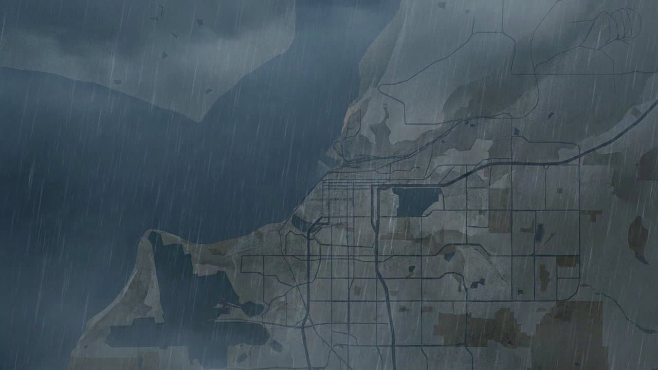
The boundary sets where AMATS plans and allocates federal transportation money. Federal rules require AMATS to update it after each census. The new boundary must include all Census Bureau urban areas and may extend beyond them.
In a July 2025 letter to the Alaska Department of Transportation and Public Facilities, the Federal Highway Administration and Federal Transit Administration said the revised boundary must be approved by Dec. 29. AMATS cannot plan for the revised areas until the boundary is final.
The committee approved a boundary without objection in January 2024. In August 2024, a state transportation department representative asked for another review, concerned that planned Seward Highway projects inside the new boundary could be affected by becoming part of the AMATS process, according to the staff narrative. Chair Holland said at the time that projects can be harder to deliver inside the planning area because the planning process is less efficient. The next month, the committee reapproved the boundary without objection.
The department raised the boundary again in early 2025, along with changes it proposed to the AMATS operating agreement. The federal agencies' July 2025 letter said the boundary did not require changes to the operating agreement and that requiring them could delay the update.
At a September work session, committee members told staff to justify why each area was included. Their guidance included keeping the shape simple, including areas expected to urbanize in the next 20 years and not spreading planning funds too thin.
The new version follows city parcels, the 2020 urban area and a 550-foot buffer around public roads and the railroad, a width the work session identified as covering typical right-of-way. It drops part of Joint Base Elmendorf-Richardson west of the Glenn Highway, where roads are mostly private, and an Eagle River area of mostly private streets. It includes Point Woronzof for its trail network.
The staff narrative cites Alaska Department of Labor and Workforce Development projections showing the Municipality of Anchorage's population shrinking in every five-year period from 2025 through 2055.
The committee meets Thursday from 1 to 3 pm at 4700 Elmore Road, according to the meeting agenda.
What did you make of this story? (no account needed)
Made by our human newsroom with AI. How humans and AI work here · Grow with our newsroom ·
Get Alaska News in your inbox
Create your free account and get the day’s top stories around 6 each morning, in a few minutes’ read.
Top stories, around 6 each morning.
Stories on what you follow, on Sundays.
Source: AMATS.






Comments
Sign in to leave a comment.
No comments yet. Be the first to share your thoughts.