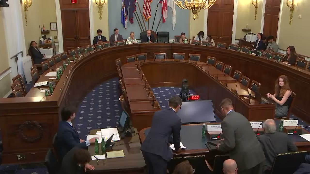
Frame from "House Natural Resources Subcommittee on Energy and Mineral Resources" · Photo source
The program mapping Alaska's unknown ground expires this year
Vast stretches of Alaska's interior have never been surveyed with modern methods. The federal program that has been closing that gap runs out at the end of this fiscal year.
Since 2019, the U.S. Geological Survey's Earth Mapping Resources Initiative has nearly doubled the publicly available subsurface data covering Alaska's 365 million acres, most of it federally managed.
Two bipartisan bills heard Tuesday by a House Natural Resources subcommittee would extend the program through 2031 and widen its scope to geothermal resources and natural hydrogen. A companion bill would add quantum gravity sensing over at least three priority mineral areas — precise enough to find ore buried beyond the reach of conventional surveys.
Rory Day-Stirrat, president of the Association of American State Geologists, told the subcommittee the program "is working and it deserves reauthorization." He said it subsidizes no company or project, producing public data that state agencies, tribal nations, universities, land managers and industry all use.
This article is based on a public meeting of House Natural Resources Subcommittee on Energy and Mineral Resources (Begich) — House Natural Resources Subcommittee on Energy and Mineral Resources (Begich): Legislative Hearing on the following bill ().
Made by our human newsroom with AI. How humans and AI work here · Grow with our newsroom Transcript byLucas Brown
Discussed in
Watch key moments from the source meeting. Click to expand.
Stay informed. Support what matters.
Free, permanent access to local news you can verify. Subscribe to support Maggie AlaskaNews and go ad-free.
Related Coverage
The program mapping Alaska's subsurface runs out at the end of the year
Alaska News · 1mo ago
Senate committee advances five-year renewal of federal program mapping Alaska's geology
Alaska News · 2w ago
Alaska has the most earthquakes. The program that watches them expired in 2023.
Alaska News · 3mo ago
A federal minerals program is funding science on the seafloor mining wants to dig
Alaska News · 2mo ago
Oil-company seismic data is going public — the price of a state tax credit
Alaska News · 3mo ago
Comments
Sign in to leave a comment.
No comments yet. Be the first to share your thoughts.