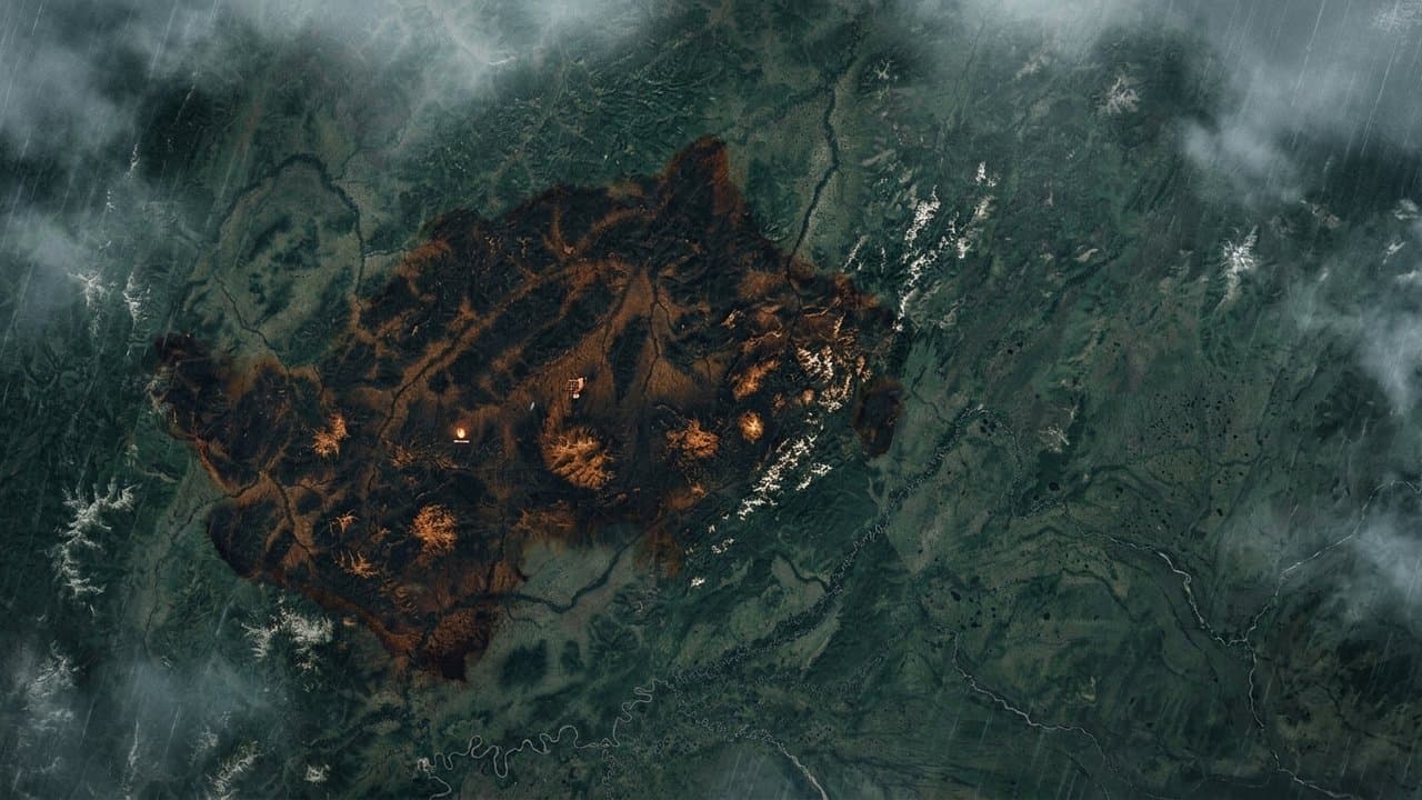
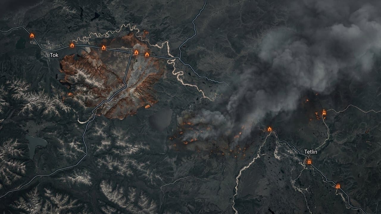
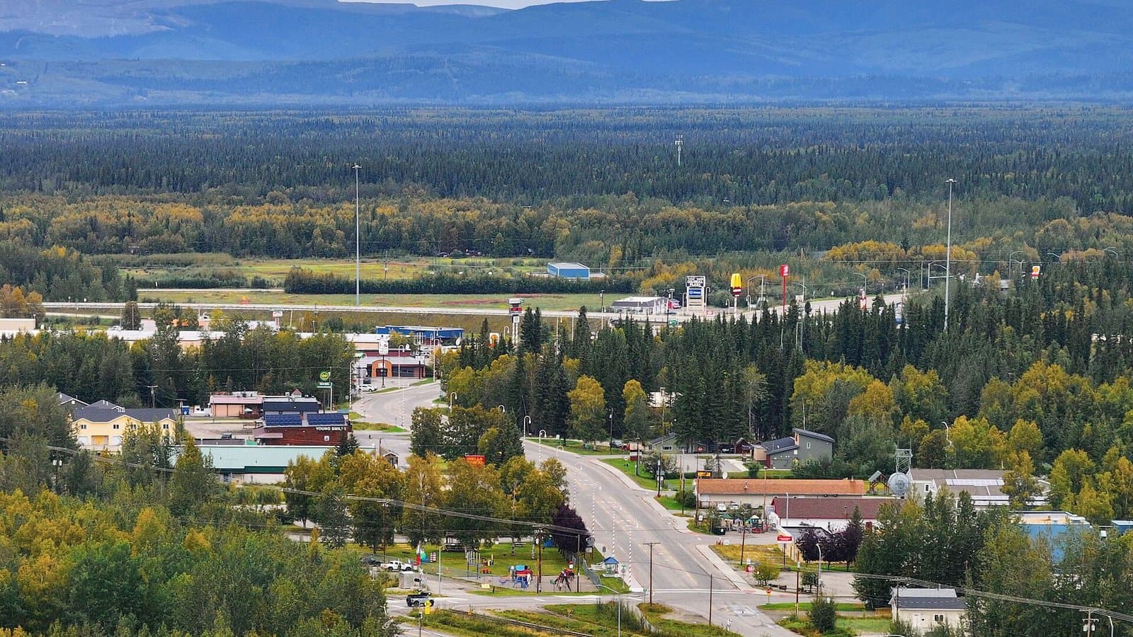
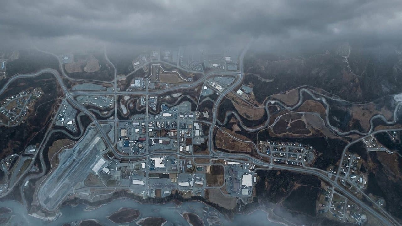
Editorial map (Gemini + Google Maps)
Tatlanika Fire still listed as 3.5 acres but agency reports put it above 31,000
Alaska 511's listing for the Tatlanika Fire still shows 3.5 acres, far below the 31,421 acres state fire managers reported on August 13. Alaska 511 is the transportation department's traveler information service; fire size comes from the Division of Forestry and Fire Protection.
The card, last updated Monday at 10:26am, places the fire 23 miles east of Clear and lists its status as Fire Investigation, nearly two months after the June 20 discovery. It does not state cause, containment, threat to structures, or whether the fire affects any road.
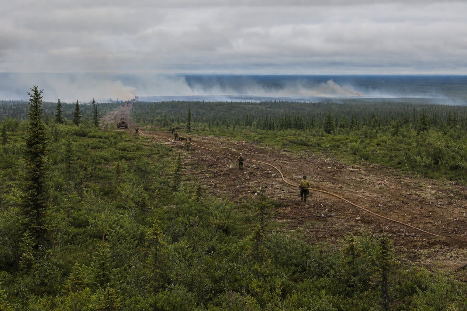
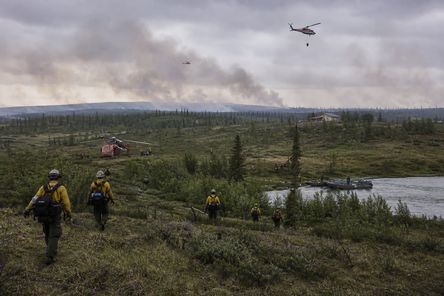
The division managed the fire in the Tanana Flats under a Limited Management Option, which allows a fire to burn where it does not threaten people or property. That changed in early August, when it inserted firefighters and began indirect fire suppression. The fire was estimated at 982 acres on July 8.
"No evacuations have been issued, and no additional infrastructure or communities are currently threatened," the division said.
What did you make of this story? (no account needed)
Made by our human newsroom with AI. How humans and AI work here · Grow with our newsroom ·
Get Alaska News in your inbox
Create your free account and get the day’s top stories around 6 each morning, in a few minutes’ read.
Top stories, around 6 each morning.
Stories on what you follow, on Sundays.
Source: Alaska Department of Natural Resources, Alaska Department of Natural Resources: Alaska wildfire: Tatlanika (Fire Investigation) — 3.5 acres.





Comments
Sign in to leave a comment.
No comments yet. Be the first to share your thoughts.