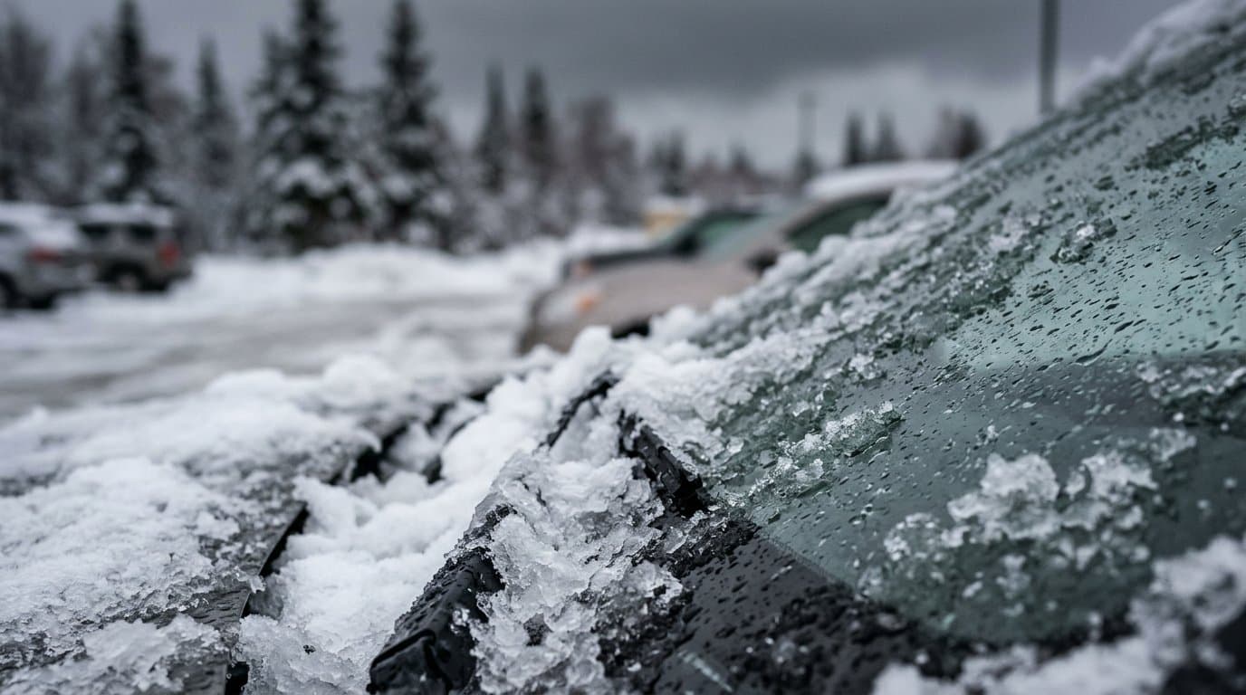
AI image
Storm stays colder than forecast and drops about 5 inches of snow on Fairbanks
The National Weather Service in Fairbanks sharply raised its snow forecast Monday after temperatures stayed 2 to 4 degrees colder than expected, turning a storm that was supposed to bring valley rain into mostly snow. Storm totals will approach 4 to 8 inches across much of the Fairbanks North Star Borough, forecasters said in their afternoon forecast discussion.
Difficult winter travel will continue into Tuesday, the weather service said. Wet and slushy roads are expected to refreeze as skies clear and overnight lows drop into the teens and 20s.
Monday's morning forecast had called for rain in the valleys and snow above 2,000 feet, with only a trace to 1 inch of snow in the valleys and 2 to 4 inches at highway summits. By noon, the weather service office at the University of Alaska Fairbanks had measured 3.1 inches, according to a storm report. The snow mixed with light rain and ended around 3:30 pm, with a final total of 5.4 inches. Public reports around Fairbanks ranged from 4.5 inches off Gold Mine Trail to 6.8 inches on Chena Ridge.
The warm air did reach Nenana, which reported 0.03 inches of freezing rain and then stayed all rain, forecasters said. East of Nenana, heavy precipitation rates kept temperatures from warming and held them near freezing, so most of it fell as snow. Forecasters said their earlier forecast had the total amount of moisture about right but underestimated how much would fall as snow.
The storm followed weekend winter advisories for Fairbanks and the Interior that warned rain on freezing surfaces could glaze roads with ice.
Alaska State Troopers warned of difficult driving on the Parks Highway, the main road between Anchorage and Fairbanks. Heavy snow was "causing difficult driving conditions, especially on the Parks Highway near Cantwell," troopers said Monday.
High pressure should keep the Interior dry Tuesday and Wednesday. A Wind Advisory for Windy Pass and the Eastern Alaska Range north of Trims Camp runs from 7 am Wednesday to 7 am Thursday, with south winds through the passes gusting up to 65 mph. Rain and snow showers return Wednesday night into Thursday.
Forecasters are also watching the remnants of Typhoon Champi, expected to move into Western Alaska Thursday into Friday. Rain and snow showers from that system would reach the Interior Thursday night through Saturday, and gusts through the Alaska Range passes could top 70 mph, forecasters said.
Drivers can check 511.alaska.gov or call 511 for current road conditions.
Assembled from public records the newsroom collected.
Made by our human newsroom with AI. Reviewed by Cale Green. How humans and AI work here · Grow with our newsroom
Stay informed. Support what matters.
Free, permanent access to local news you can verify. Subscribe to support Alaska News and go ad-free.
Related Coverage
Weather service issues winter advisories for Fairbanks and Interior, with ice possible
Alaska News · 2d ago
Last Brooks Range winter storm warning expires after a snowy weekend
Alaska News · 1h ago
Up to 6 inches of snow possible in Isabel Pass by Wednesday night
Alaska News · 4w ago
Winter storm could drop up to 3 feet in Isabel Pass, with Fairbanks totals uncertain
Alaska News · 1w ago
Atmospheric river pushes small Interior streams toward bankfull
Alaska News · 1mo ago
Comments
Sign in to leave a comment.
No comments yet. Be the first to share your thoughts.