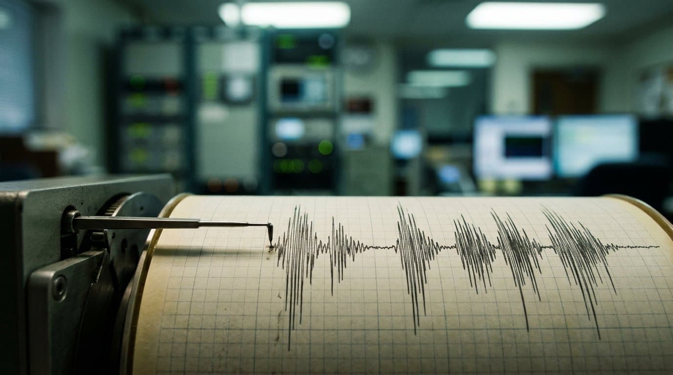
AI image
Seven small earthquakes logged across Alaska over three days
Seven earthquakes of magnitude 2.6 to 3.6 were recorded in scattered parts of Alaska between Aug. 26 and Aug. 29, from the Alaska Peninsula to Mentasta Lake. None was large enough to cause damage.
The closest to a population center was a magnitude 2.6 quake about 15 miles south-southwest of Susitna early Friday, roughly 27 miles from Anchorage.
Automated sensors also logged a magnitude 3.6 event 19 miles northeast of Fox River on the Kenai Peninsula and a magnitude 3.2 event 39 miles east-northeast of Ouzinkie on Aug. 27. On Aug. 28 came a magnitude 3.1 about 8 miles north of Mentasta Lake and a magnitude 2.6 about 17 miles east of Chignik. A magnitude 2.7 followed south of Port Graham on Friday.
Those locations and magnitudes are preliminary. They come from automated systems and have not been reviewed by a person.
One has. The Alaska Earthquake Center placed a magnitude 2.9 quake 56 miles southeast of King Cove on Aug. 26, at a depth of 6.2 miles. The U.S. Geological Survey puts that same quake about 22 miles deep, a difference the two agencies have not reconciled.
Depth matters on the Alaska Peninsula, because the earthquakes there come from more than one source. The Aleutian megathrust is the boundary where the Pacific plate dives beneath the North American plate, and it produces the region's largest quakes. Deeper down, inside the descending plate itself, a zone of persistent seismicity generates far more of them. Shallower faults in the crust, including the Kodiak Shelf Fault Zone, account for others.
"The Aleutian-Alaska Wadati-Benioff Zone produces thousands of earthquakes each year, most of which are too deep and too small to be felt," the earthquake center said of that deep zone.
The megathrust is responsible for the big ones. It produced the magnitude 7.8 Simeonof earthquake in 2020 and the magnitude 8.2 Chignik earthquake in 2021.
Alaska accounts for 11 percent of the world's recorded earthquakes, and the Alaska Seismic Hazards Safety Commission says the state records roughly 1,000 of them a month. The region has averaged a magnitude 8 or larger about every 13 years.
Anchorage's emergency management office calls Southcentral Alaska one of the most seismically active regions in the world, and urges residents to keep emergency kits ready and practice Drop, Cover and Hold On.
Assembled from public records the newsroom collected.
Made by our human newsroom with AI. How humans and AI work here · Grow with our newsroom
Stay informed. Support what matters.
Free, permanent access to local news you can verify. Subscribe to support Walter AlaskaNews and go ad-free.
Related Coverage
A widely felt quake rattled Southcentral Alaska on Saturday
Alaska News · 3mo ago
Magnitude 5.6 quake northwest of Skwentna felt across Anchorage and Mat-Su
Alaska News · 2mo ago
A magnitude 3.0 leads a weekend quake cluster in the Susitna Valley
Alaska News · 2mo ago
Dozens of earthquakes struck one patch of seafloor near Nikolski
Alaska News · 1mo ago
A magnitude 3.9 earthquake shook Southcentral Alaska near Hope on Friday night
Alaska News · 1mo ago
Comments
Sign in to leave a comment.
No comments yet. Be the first to share your thoughts.