
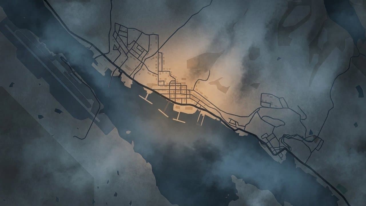
Editorial map (Gemini + Google Maps)
SEARHC seeks Sitka approval to fold its 2021 barge ramp into a state tideland lease
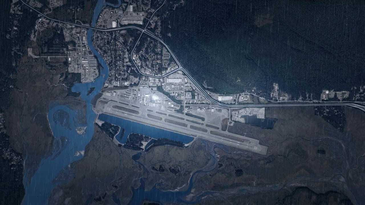
The Southeast Alaska Regional Health Consortium is asking the Sitka Planning Commission to approve a state tideland survey that would set the lease boundary around the health consortium's existing barge ramp on Japonski Island.
The commission will hold a public hearing on the request at 7 pm Wednesday, Nov. 18, at Harrigan Centennial Hall.
The ramp is already there; it was finished in January 2021. City planning staff called the request "largely a retroactive, administrative action" in their staff report, and they recommend approval.
The report says no expansion is proposed at this time and no change in use.
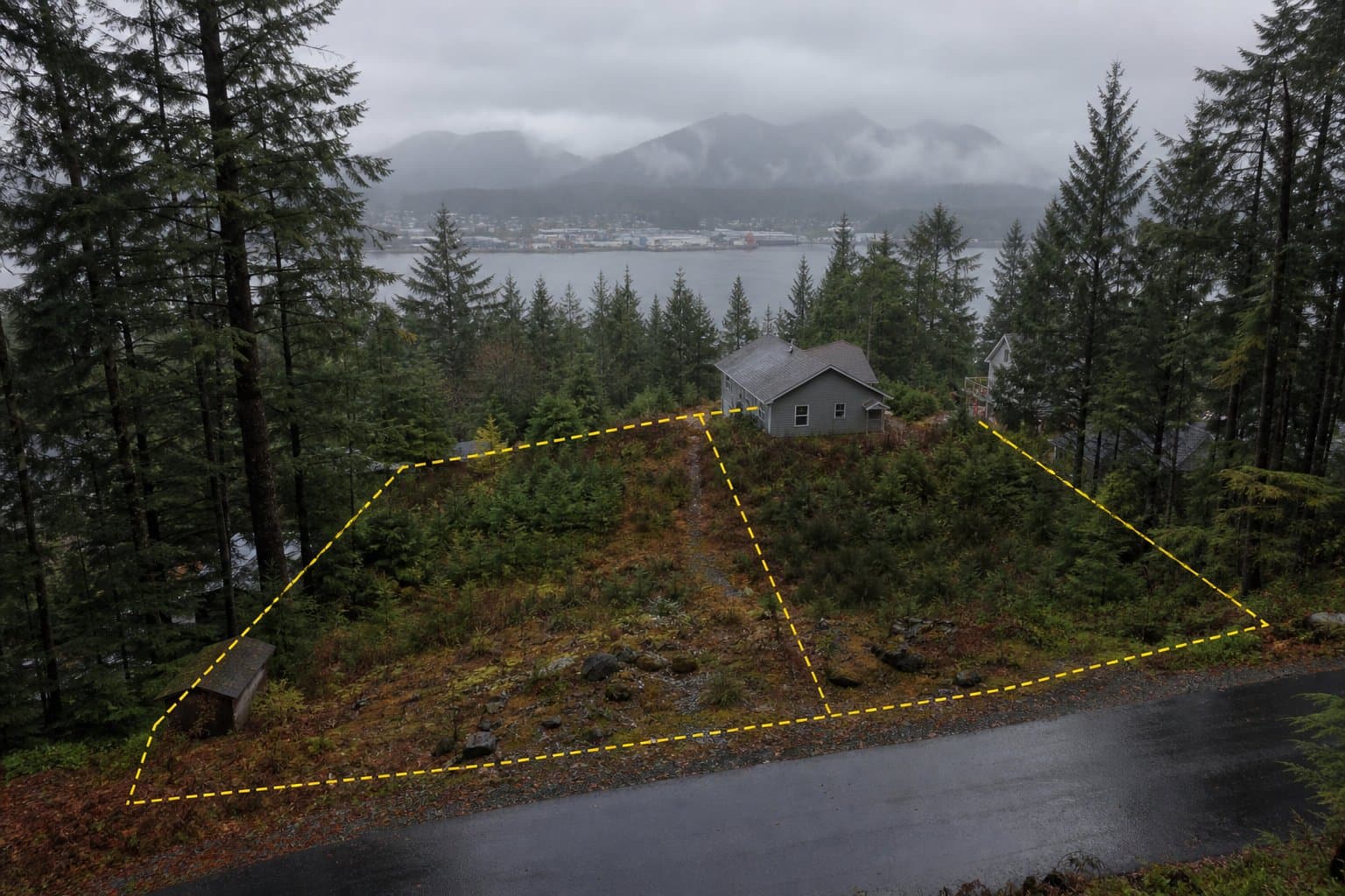
The ramp sits on submerged tidelands owned by the State of Alaska, seaward of SEARHC's lot at 1220 Seward Avenue. Adjacent land holds hospital facilities and a high school campus, according to the staff report.
SEARHC opened its new Mt. Edgecumbe Medical Center on the island in June.
The survey covers 0.862 acres. SEARHC's application describes the lot as 150 feet wide by 240 feet long.
It expands the boundary of SEARHC's lease to take in the ramp; the state remains the owner. Mike Pountney filed the request for SEARHC.
The Alaska Department of Natural Resources requires the survey to define the lease boundary, and it requires approval from the local platting authority, the body that reviews maps dividing or defining land. In Sitka, that's the Planning Commission.
The department is also asking for any corrections to the survey now. The survey map has signature lines for the commission chair and for the director of the department's Division of Mining, Land and Water.
The survey also sets aside a public access strip. It reserves to the state an easement running 50 feet seaward of the mean high water line, the average high-tide mark, along both the natural shoreline and the one created by the ramp project's fill.
State law generally requires the state to provide easements that ensure "free access to and along" public waters before it leases land next to them.
Christopher G. Piburn of R&M Engineering-Ketchikan prepared the survey. The map dates the survey work from January 2020 to September 2021; it was drawn in June 2026 and is still marked preliminary.
The site is in the city's Public Lands zoning district.
City staff also found that the lease area won't affect the water lane planned for Sitka's new seaplane base.
The city plans to build the base on the north shore of Japonski Island, with a 4,000-foot water lane in Sitka Channel north of the current one, according to the project's 2021 environmental review.
The Federal Aviation Administration awarded the city about $2 million in September to buy the land and finish the design. The estimated $34 million to build it hadn't been identified as of September.
What did you make of this story? (no account needed)
Made by our human newsroom with AI. Reviewed by Cale Green. How humans and AI work here · Grow with our newsroom ·
Get Alaska News in your inbox
Create your free account and get the day’s top stories around 6 each morning, in a few minutes’ read.
Top stories, around 6 each morning.
Stories on what you follow, on Sundays.
Source: City and Borough of Sitka, City and Borough of Sitka: City and Borough of Sitka — Planning Commission: Agenda (2026-11-18).








Comments
Sign in to leave a comment.
No comments yet. Be the first to share your thoughts.