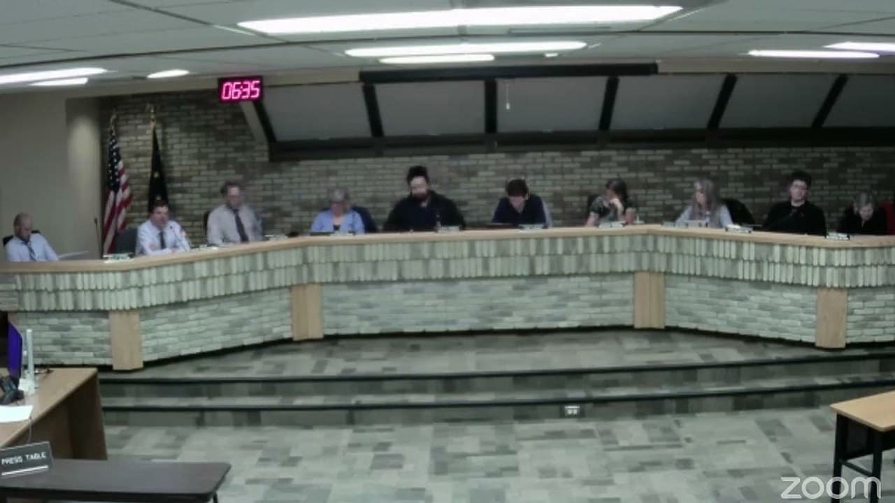
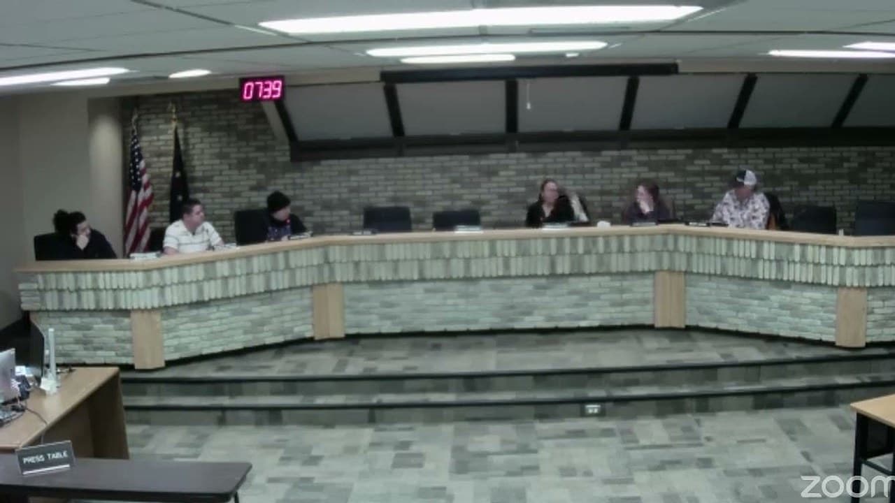
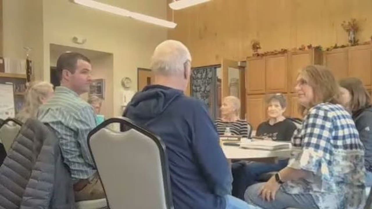
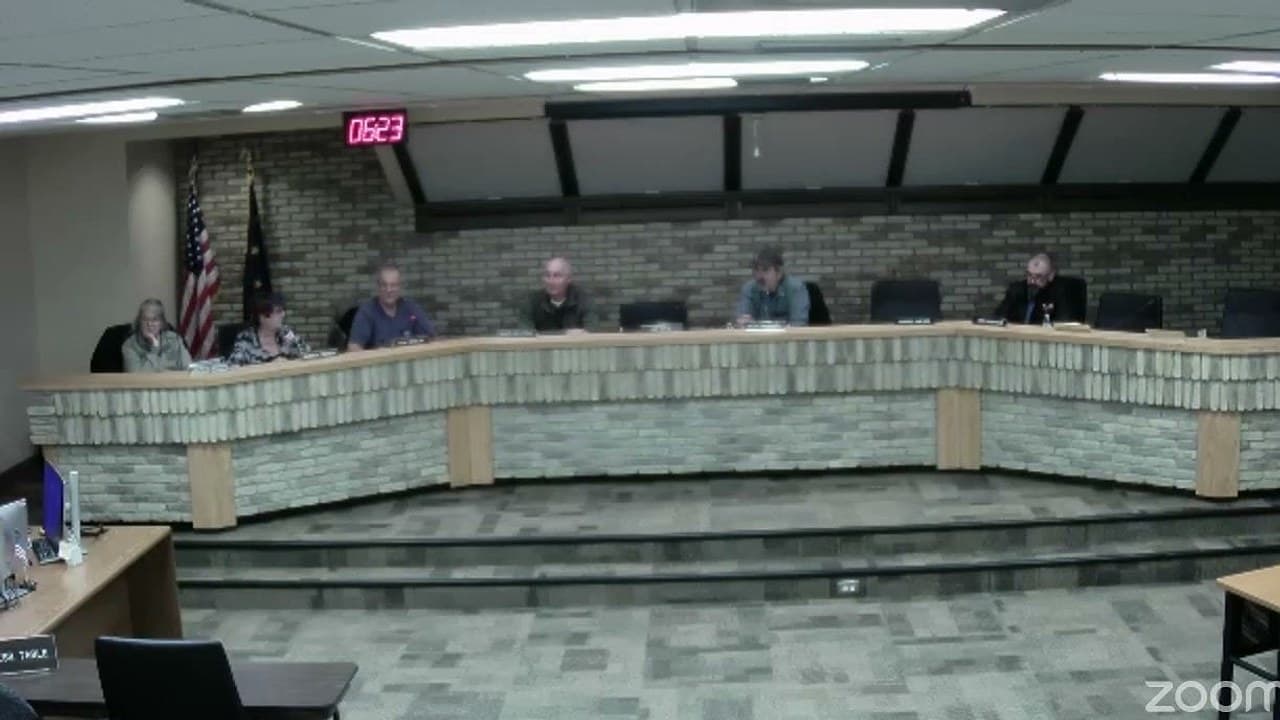
Frame from "Kenai: 11/18/2026 City Council Meeting" · Photo source
Kenai drops park status from a never-built park, a step toward possible housing
The Kenai City Council voted 7-0 Wednesday to drop the park designation from a city lot that never became a park, a step the city must take before it can sell or otherwise dispose of the land. City planners say a sale could help bring housing to the largely unbuilt 1955 subdivision around it.
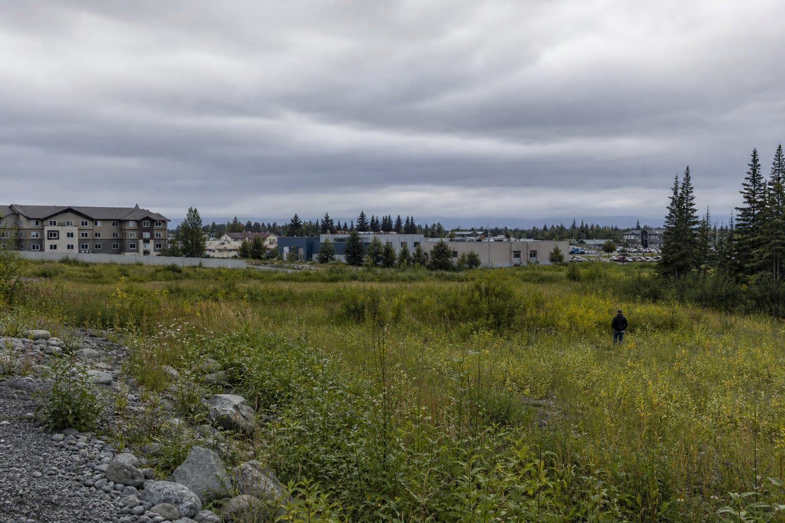
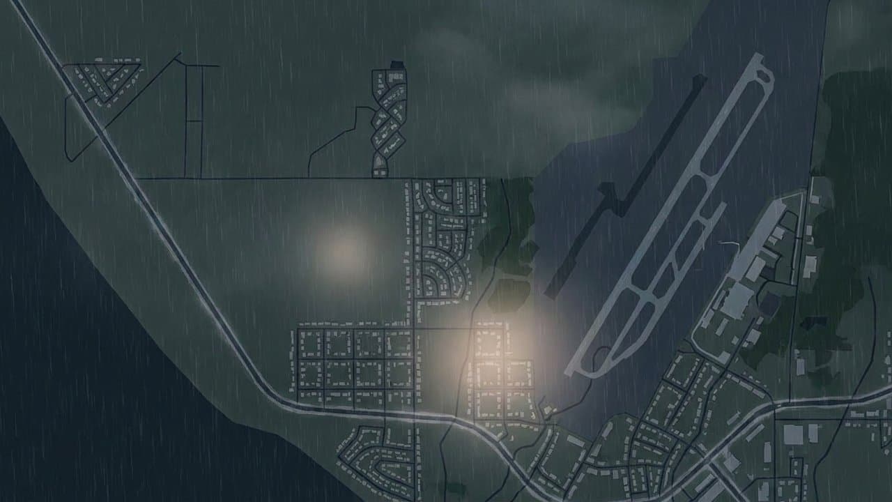
The 2.32-acre triangle, known as Carl F. Ahlstrom Park, sits west of Wildwood Drive, between Iliamna Road and Spur Drive. The city took it through a tax foreclosure in 2001, and a 2004 ordinance kept it for a future park. It was never developed as one.
It's part of the Carl F. Ahlstrom Subdivision, platted in 1955 with 398 lots. Except for a short stretch of Spur Drive, the subdivision's interior roads were never built, and no water or sewer lines run beneath them, according to the city's 2022 land plan. Freeing up the triangle could help the surrounding lots be reconfigured "into a more cohesive and marketable format," encouraging housing, Planning Director Kevin Buettner wrote in a memo to the council.
The vote approves no sale, subdivision or development, and no one from the public spoke on it. The ordinance takes effect Dec. 17.
City Manager Terry Eubank said the city's 2022 land plan already recommended disposing of the lot, but the city can't dispose of land that carries a public purpose designation. The city's new parks master plan didn't count it as needed for a park, he said.
Council Member Glenese Pettey asked how anyone would get to the lot. Its two legal accesses were platted but never built. Eubank called it a problem the city is "consistently trying to work through": people can buy such lots cheaply and then ask the city to build the roads, "which I don't think we're in a position to do." The cost should fall on the land that benefits, not on Kenai residents, he said. "I don't have a good answer for you."
Planners say a park could go instead on part of a 4.24-acre city parcel to the east, between the Mommsens and Kenai Meadows subdivisions. It's more central to homes along Redoubt Avenue and to about 64 acres of city land nearby that, once subdivided, could look like Kenai's Inlet Woods or Windhaven neighborhoods, Buettner said. The new land plan recommends reserving part of that parcel for a park, Eubank said.
The council also adopted a revised land management plan, which sets out what the city intends to do with each of its parcels, now 376, up from 369. Buettner said staff cut about 40 pages to make it "more developer-friendly" without losing information. It relabels parcels where only part may be sold or developed as a "partial development opportunity."
The resolution adopting the plan lets city administration make clerical updates for sales, subdivisions and other land changes without a council amendment. Eubank said only the council can change whether a parcel is recommended to be kept or sold. "The administration would not be able to take a parcel that is currently designated for retain and say we should dispose of it without council action," he said.
Buettner said the city plans an interactive online map of the plan by the end of the fiscal year.
What did you make of this story? (no account needed)
Made by our human newsroom with AI. Reviewed by Cale Green. How humans and AI work here · Grow with our newsroom · Transcript byLucas Brown
Keep Alaska News free for everyone.
No paywall, ever. Members pay so everyone can read the meetings and records Alaska News covers.
Get Alaska News in your inbox
Create your free account and get the day’s top stories around 6 each morning, in a few minutes’ read.
Top stories, around 6 each morning.
Stories on what you follow, on Sundays.
This article is based on a public meeting of City of Kenai — Kenai: 11/18/2026 City Council Meeting ().
Watch key moments from the source meeting. Click to expand.






Comments
Sign in to leave a comment.
No comments yet. Be the first to share your thoughts.