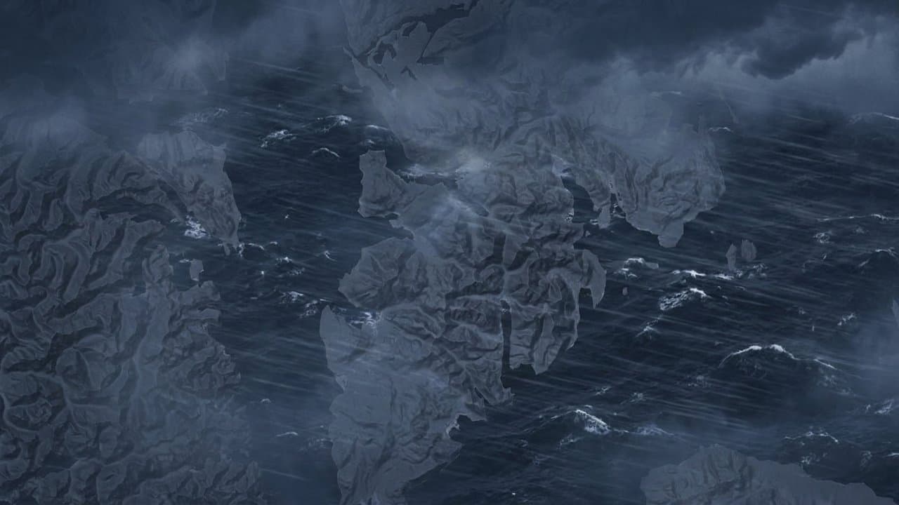
Editorial map (Gemini + Google Maps)
Flood watches and gusts to 55 mph hit southern Southeast as an atmospheric river arrives
The National Weather Service in Juneau has flood watches and wind advisories out across southern Southeast Alaska as what forecasters call a stronger atmospheric river moves over the Panhandle Thursday and Friday.
Meteorologist Zoe Kaplan said a low pressure system over the western Gulf of Alaska is sending a strong front into the region. "We're expecting heavy rainfall starting late Wednesday night for the far southern Panhandle and moving north to northeastward into the rest of the Panhandle through Thursday morning," Kaplan said. The rain will continue into Friday morning, she said. The northern Panhandle will also see a lot of rain, she said, but not as much and not as concerning for rivers and streams.
Ketchikan and Metlakatla could get 4 to 6 inches of rain between early Thursday and late Friday morning, according to the flood watch for the area. The heaviest rain is expected from late Thursday morning through the evening, when it could fall at more than 0.3 inches an hour. Street flooding and flooding of creeks and rivers are possible, and with the rain and gusty winds, forecasters said isolated landslides are possible on steep mountain slopes. The office's Wednesday afternoon forecast discussion placed that possibility south of Frederick Sound. The watch runs from 1 pm Thursday to 1 pm Friday.
A second flood watch covers Petersburg, Wrangell, Kake, Port Alexander and Prince of Wales Island communities including Craig, Klawock, Hydaburg, Coffman Cove and Thorne Bay, where 2 to 3.5 inches of rain is expected over the same period.
Ketchikan, Metlakatla and Wrangell are also under a wind advisory until 4 am Friday, with southeast winds of 25 to 35 mph and gusts up to 55 mph. The strongest gusts are expected Thursday night into Friday, and gusts above 1,000 feet may exceed 60 mph. Kaplan said sustained winds could be closer to 45 mph around Clarence Strait, the Icy Strait corridor and Cross Sound.
Sitka, Prince of Wales Island and western Kupreanof and Kuiu islands are under a wind advisory until 4 pm Thursday for southeast winds of 20 to 30 mph with gusts up to 55 mph. Juneau's advisory, also until 4 pm Thursday, calls for east winds of 15 to 25 mph with gusts up to 40 mph.
The weather service said the winds could blow around unsecured objects and bring down tree limbs. "Winds this strong can make travel difficult. Use extra caution," the advisories said. Forecasters told people in flood-prone areas to watch for possible flood warnings and be prepared to act if flooding develops.
Source: National Weather Service.
Made by our human newsroom with AI. Reviewed by Cale Green. How humans and AI work here · Grow with our newsroom
Stay informed. Support what matters.
Free, permanent access to local news you can verify. Subscribe to support Walter AlaskaNews and go ad-free.
Related Coverage
Atmospheric river could drop 3 to 5 inches of rain on southern Southeast in a day
Alaska News · 2d ago
Flood watch covers Skagway, Haines and Klukwan through Sunday night
Alaska News · 3w ago
Wind advisory covers Sitka, Prince of Wales and Annette Island until 10 am Sunday
Alaska News · 1w ago
Heavy rain and near-60 mph gusts hit Southeast Alaska this weekend
Alaska News · 3w ago
Ketchikan faces 2 to 3.5 inches of rain, road ponding through Monday
Alaska News · 1mo ago
Comments
Sign in to leave a comment.
No comments yet. Be the first to share your thoughts.