AI image
Fairbanks panel works Chena riverfront plan chapters Tuesday
A 2019 letter warning Fairbanks North Star Borough leaders that riverfront homes built to code could face erosion within the life of a mortgage is now part of the background material for the borough's ongoing rewrite of the Chena Riverfront Plan.
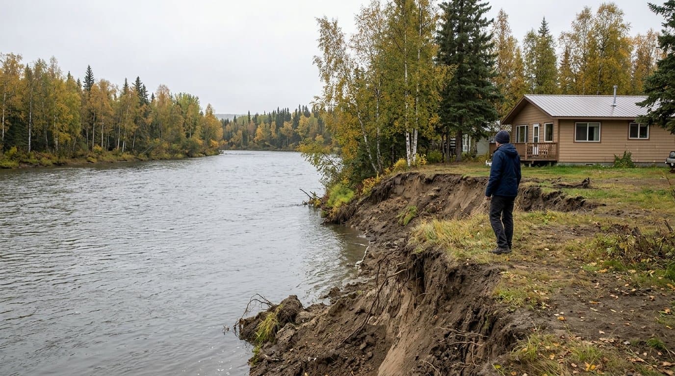
Then-Chair Buki Wright of the Chena Riverfront Commission sent the June 23, 2019 draft letter to then-Mayor Bryce J. Ward. It cited a U.S. Fish and Wildlife Service estimate of about 1.8 feet of erosion a year on high-risk outside bends, meaning a structure built to the minimum 25-foot setback under the Waterway Setback and Waterway Protection overlays could be threatened within 15 years, the typical span of a mortgage. The letter documented 22 feet of bank lost in 17 years a mile upstream of Fort Wainwright, and larger losses over decades near the Nordale Road Bridge.
The letter asked the borough to amend FNSBC 17.60.020 so the Platting Board could "impose more restrictive standards" in high-erosion areas. "We feel this flexibility would benefit current and future property owners by providing space to adapt to migrating streambanks in high-risk erosion areas," the letter said. It noted the change would not help owners in existing streamside subdivisions, who have few options beyond rootwads or riprap. State and federal funds have paid about $1.136 million for fish-friendly bank stabilization on the river, matched by landowners.
The letter now sits as background material in the packet for Tuesday's meeting of the borough's Chena Riverfront Plan Subcommittee, which convenes at noon in the Mona Lisa Drexler Chambers at the Juanita Helms Administration Center to work through draft chapters of a new Chena Riverfront Plan. The rewrite would replace the plan adopted in 2016.
Planner III Anduin K McElroy wrote that "The focus of this next meeting should be to spend concerted effort on the chapters," followed by a work plan review. The agenda covers the project's scope, timeline, subject matter and public involvement. Staff contacts are Kellen Spillman and McElroy.
The draft land use chapter proposes a Future Land Use Map with categories including riverfront residential, mixed use, commercial, parks and open space, river corridor, civic and existing industrial. The map would guide future zoning, development and public investment decisions, but would not itself change existing zoning.
The draft natural river functions chapter sets goals for flooding and channel migration, water quality, fish and wildlife habitat, and riparian areas. Its buffer guidance ranges from the Alaska Department of Fish and Game's recommended 15-foot minimum of undisturbed native vegetation, through 25 to 50 feet for bank stability and water quality, up to 300 feet or more for maximum ecological protection. The draft describes these as examples for different purposes, "not universal setbacks for every property or river location," and notes that the widest buffers are often not feasible in urban areas.
Source: Fairbanks North Star Borough ().
AI-assisted. No editor review is on record for this article. Who is accountable.
Stay informed. Support what matters.
Free, permanent access to local news you can verify. Subscribe to support Maggie AlaskaNews and go ad-free.
Related Coverage
Fairbanks subcommittee drafts new Chena River plan with freeze, salmon, and flood goals
Alaska News · 2mo ago
As the Chena's king salmon collapse, Fairbanks debates how wide a riverfront buffer to require
Alaska News · 3w ago
Fairbanks draft river plan backs changing wastewater discharge so the Chena can freeze
Alaska News · 1mo ago
A commission wants tougher riverbank protection than the developers asked for on a proposed Chena RV park
Alaska News · 1mo ago
New flood maps would end mandatory flood insurance for thousands of Fairbanks properties
Alaska News · 3w ago
Comments
Sign in to leave a comment.
No comments yet. Be the first to share your thoughts.