AI image
A commission wants tougher riverbank protection than the developers asked for on a proposed Chena RV park
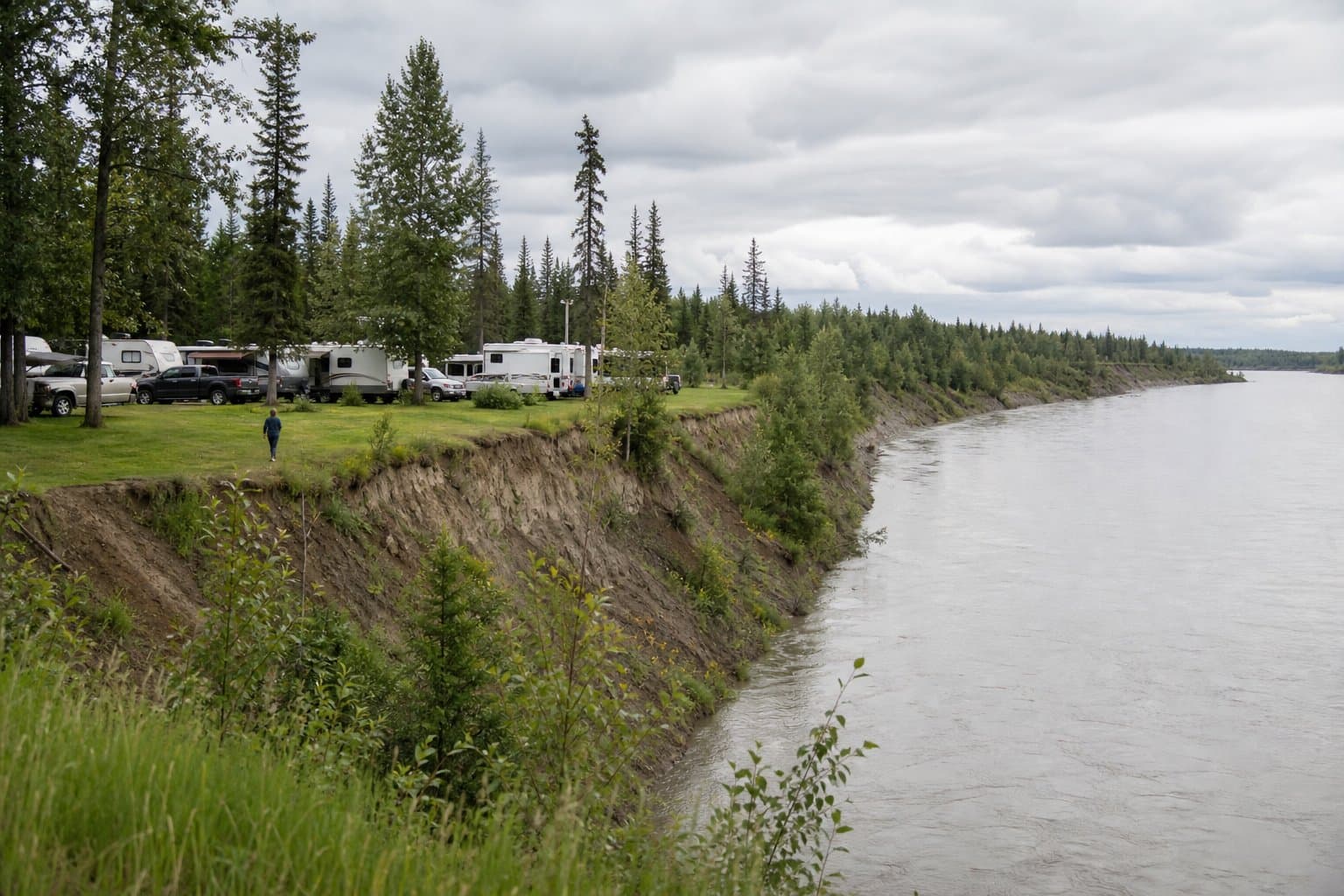
A campground and RV park proposed on the north bank of the Chena River has drawn a recommendation for stricter riverbank protection than either the developers requested or borough staff endorsed — from the very commission that reviews riverfront development.
Dirk and Heather Richard, doing business as Dollhouse LLC, want to rezone about 4.3 acres off Phillips Field Road in Fairbanks to make way for the park. Part of the request would swap a 50-foot strip of Outdoor Recreation zoning along the water for a narrower 25-foot waterway setback — a change that, under the version the developers want, would allow decks, docks and a boat launch with routine administrative approval.
Five of the seven members of the Chena Riverfront Commission pushed back, recommending a stronger protective overlay at the same 25 feet. Under their version, the only permitted use along the water would be preserving natural vegetation; clearing it, stabilizing the bank or building river access would each require a conditional use permit — a meaningfully higher bar than the developers' proposal.
The borough's planning staff, by contrast, back the developers' request. In the staff report, a planner argued the lighter setback is appropriate here, and noted that the stricter overlay might itself amount to illegal "spot zoning," since it would interrupt a continuous stretch of riverbank already carrying the lighter designation. Properties on both sides were rezoned to that lighter setback two decades ago.
The commission's caution reflects a broader current in borough thinking about the Chena: a riverfront planning subcommittee has been drafting chapters that propose riparian buffers of 300 feet or more — far beyond either option on the table here.
Some of the land sits within the mapped floodway, so a floodplain permit would be required before any development there regardless of which overlay is adopted. Five agencies contacted for comment — including state fish and game, environmental conservation and the Army Corps of Engineers — reported no objections. Among residents, reaction was mixed: one worried the change would add traffic at an intersection he called dangerous, another raised riverbank stabilization and noise, and a third said she favors protecting the bankside vegetation. Public testimony is set for Aug. 25.
Source: Fairbanks North Star Borough Planning Commission.
AI-assisted. How we use AI
Stay informed. Support what matters.
Free, permanent access to local news you can verify. Subscribe to support Maggie AlaskaNews and go ad-free.
Related Coverage
Fairbanks rewrites Chena riverfront rules; its own 2019 warning was never acted on
Alaska News · 1w ago
As the Chena's king salmon collapse, Fairbanks debates how wide a riverfront buffer to require
Alaska News · 1mo ago
Fairbanks subcommittee drafts new Chena River plan with freeze, salmon, and flood goals
Alaska News · 3mo ago
Fairbanks draft river plan backs changing wastewater discharge so the Chena can freeze
Alaska News · 1mo ago
Fairbanks riverwalk gap closure gets commission review next week
Alaska News · 2mo ago
Comments
Sign in to leave a comment.
No comments yet. Be the first to share your thoughts.