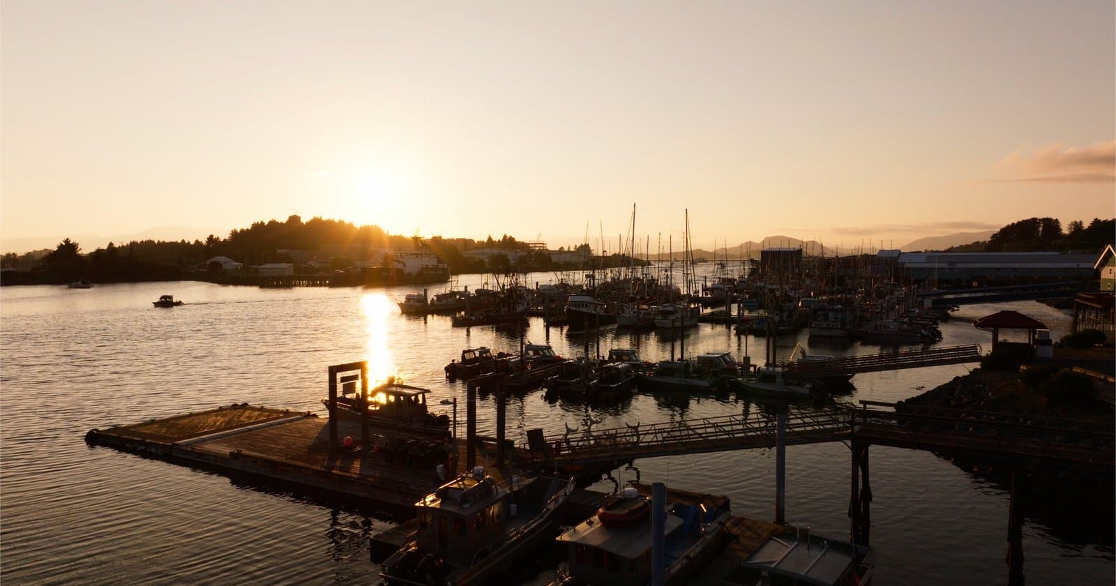
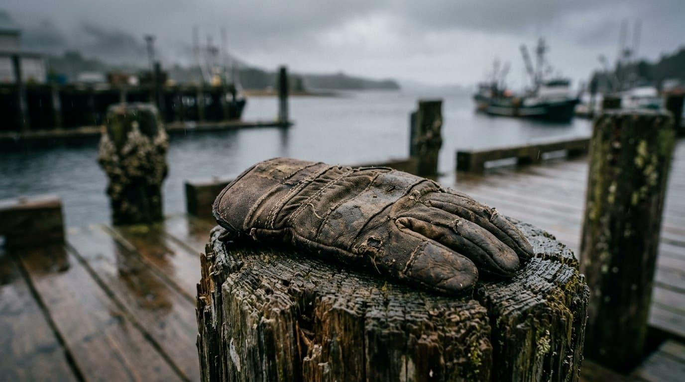
AI Generated Image
El Nino could become the strongest on record, pointing Alaska toward a warmer winter
El Nino could become the strongest on record, federal forecasters said Thursday. They now give it about a 60% chance of surpassing every El Nino in records going back to 1950.
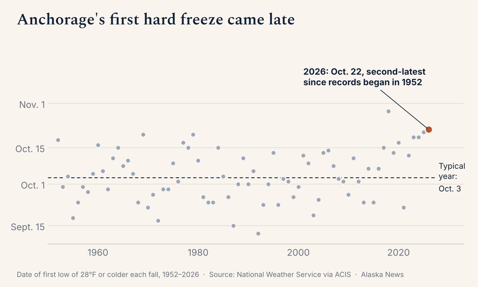
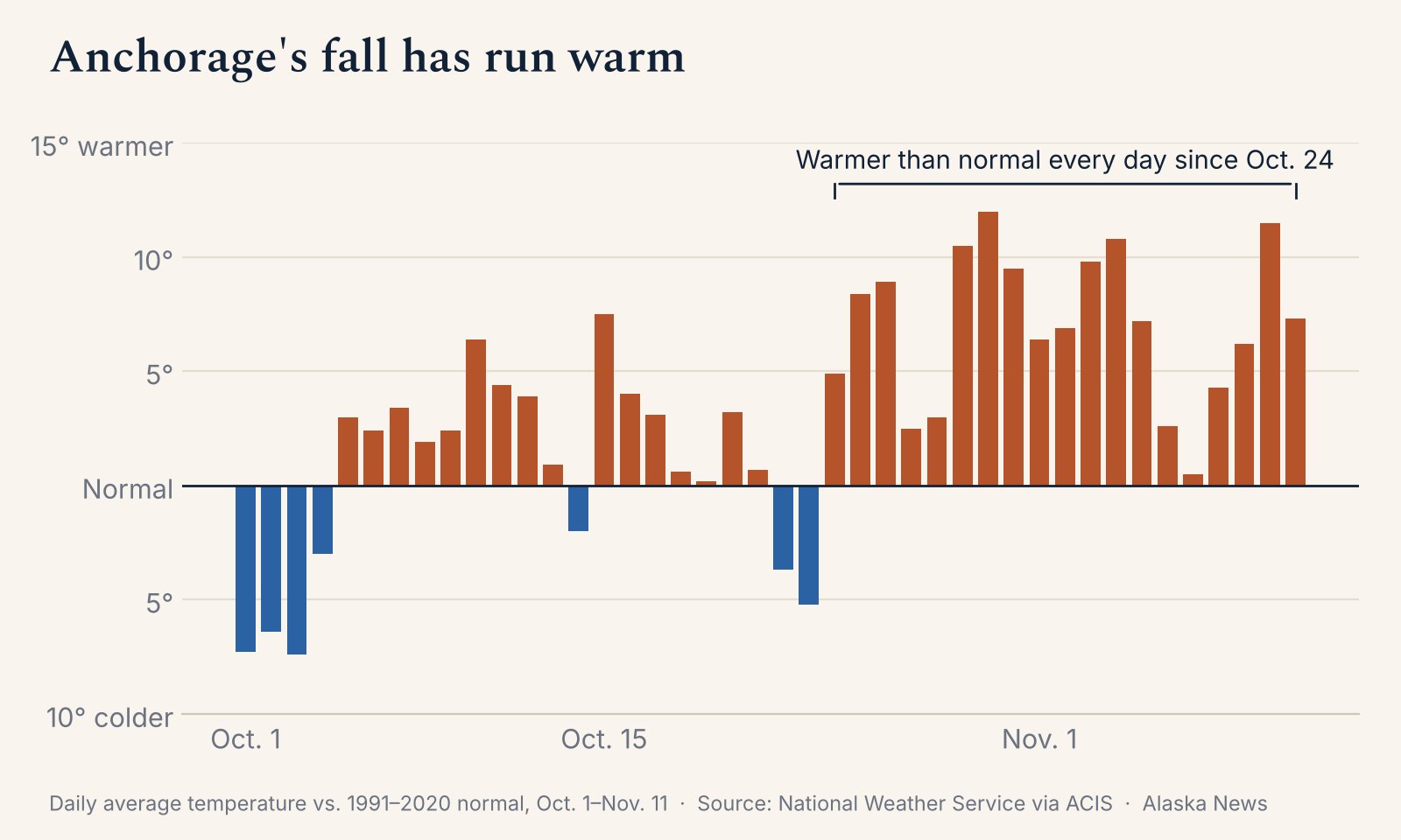
It's been building all fall, and in Anchorage, fall has hung on. Lawns stayed green for weeks longer than usual. The first hard freeze didn't come until Oct. 22, the second-latest in more than 70 years, and the temperature hasn't dropped to 20 degrees yet. In most years, it has by now.
Forecasts still point to a warmer-than-normal winter for much of Alaska, despite talk this week that the polar vortex has "broken down."
The Climate Prediction Center gives a strong to very strong El Nino better than a 79% chance of lasting through March. A very strong event makes El Nino's usual effects more likely, but not certain, forecasters said.
El Nino starts with unusually warm water in the tropical Pacific, which changes rainfall and winds there and bends the jet stream thousands of miles away.
In winter, it tends to push the storm track south of most of mainland Alaska.
The usual Alaska pattern is a warmer, stormier fall followed by a warmer, drier winter, according to the USDA's Northwest Climate Hub.
Forecasters have expected a strong El Nino since summer. Their winter outlook favors warmer-than-normal weather in eastern Alaska from November through January, with the best odds in Southeast, and drier-than-normal conditions across much of the mainland.
Parts of western Alaska have no clear temperature favorite.
Snow is harder to call. Anchorage has had less than an inch this season, one of the 10 smallest totals for this point in more than 70 years of records, while Bettles had its snowiest October on record.
Extra warmth can turn snow to rain on the coast and at low elevations that hover near freezing, and one or two big storms can make a community's season.
NOAA's broad comparisons show less late-winter snow over much of Alaska in El Nino years. But University of Alaska Fairbanks climate specialist Rick Thoman found little consistent pattern in the six very strong El Ninos since 1960, except in parts of Southeast and British Columbia.
The polar vortex talk is about winds that circle the Arctic about 19 miles up. They reversed direction Nov. 11, according to a tracker that uses European weather data.
That meets the usual test for what scientists call a sudden stratospheric warming, and it's the earliest in the tracker's records, which go back to 1959.
But the reversal was weak and lasted one day. Effects can take two to six weeks to reach the weather near the ground, if they do at all, and where cold air ends up depends on where high-pressure systems stall, according to the U.K. Met Office.
NOAA's October outlook had expected a steadier vortex this winter, which made such an event slightly less likely.
El Nino may still have played a part. Its strong tropical thunderstorms can send large waves of energy up into the stratosphere.
Federal forecasters expect the warming to be short-lived and El Nino to stay in charge. Their outlooks favor above-normal temperatures across most of Alaska through Nov. 25, with the Aleutians possibly near or slightly below normal, and across Alaska from Nov. 21 through Dec. 4, with a wetter stretch in Southeast.
The pattern for that period limits the Arctic air available for any significant cold outbreak into the Lower 48, they wrote.
NOAA updates its winter outlook Nov. 19.
What did you make of this story? (no account needed)
Get Alaska News in your inbox
Create your free account and get the day’s top stories around 6 each morning, in a few minutes’ read.
Top stories, around 6 each morning.
Stories on what you follow, on Sundays.








Comments
Sign in to leave a comment.
No comments yet. Be the first to share your thoughts.