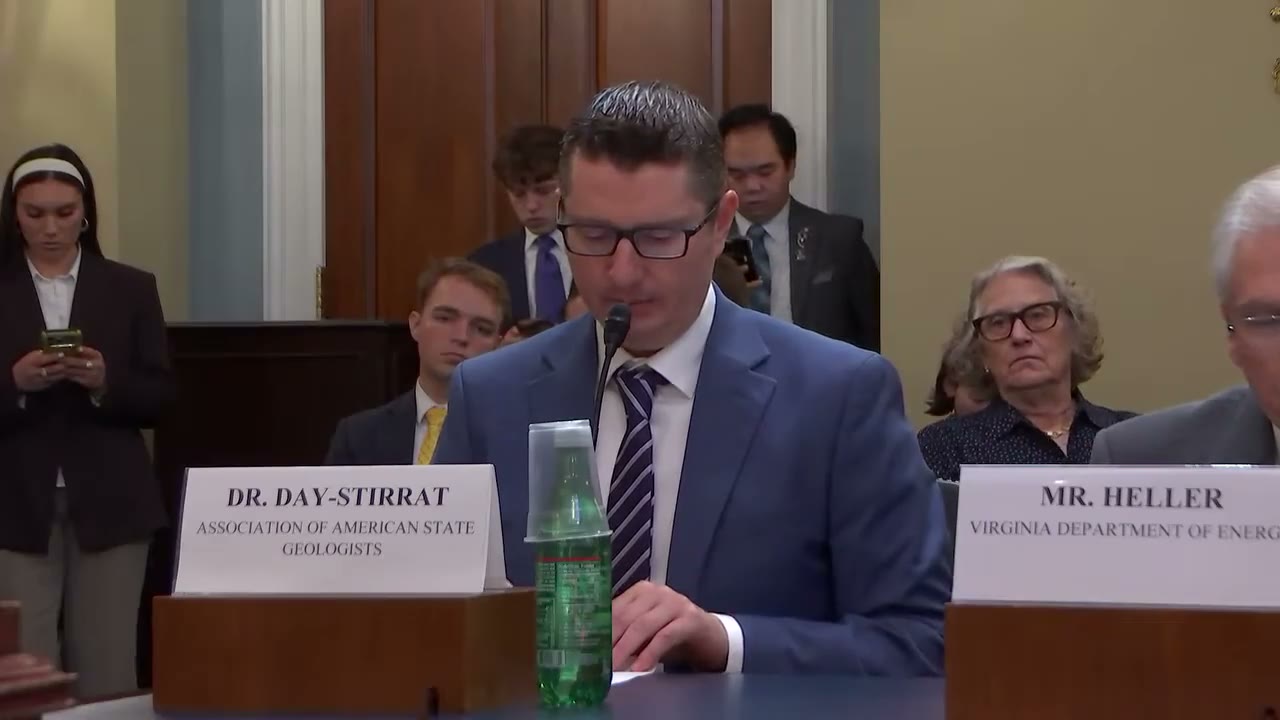
Rory Day-Stirrat
60:43 - 61:14
"What makes Earth MRI particularly effective is that it operates in the pre-competitive space. The program does not subsidize individual companies or, or individual projects. Instead, it creates publicly available geologic information that reduces uncertainty for everyone— state governments, federal agencies, tribal nations, universities, land managers, private industry. We all benefit from the same data."
“What makes Earth MRI particularly effective is that it operates in the pre-competitive space. The program does not subsidize individual companies or, or individual projects. Instead, it creates publicly available geologic information that reduces uncertainty for everyone— state governments, federal agencies, tribal nations, universities, land managers, private industry. We all benefit from the same data.”
- Speaker
- Rory Day-Stirrat
- Timestamp
- 60:43 – 61:14
- Community
- Alaska News
- Captured at
- July 21, 2026
From the transcript
What makes Earth MRI particularly effective is that it operates in the pre-competitive space. The program does not subsidize individual companies or, or individual projects. Instead, it creates publicly available geologic information that reduces uncertainty for everyone— state governments, federal agencies, tribal nations, universities, land managers, private industry. We all benefit from the same data. Earth MRI supports critical mineral assessment.
Related Coverage
The program mapping Alaska's unknown ground expires this year
Bipartisan House bills would reauthorize the USGS Earth Mapping Resources Initiative, which has nearly doubled Alaska's public subsurface geologic data since 2019, through 2031.
 by Maggie AlaskaNewsadded 2mo ago1 min read
A permitting bill could open the federal fast lane to Alaska projects
A bipartisan bill would lower the FAST-41 permitting threshold from $200 million to $50 million, opening federal fast-track review to far more Alaska infrastructure projects.
by Maggie AlaskaNewsadded 2mo ago2 min read