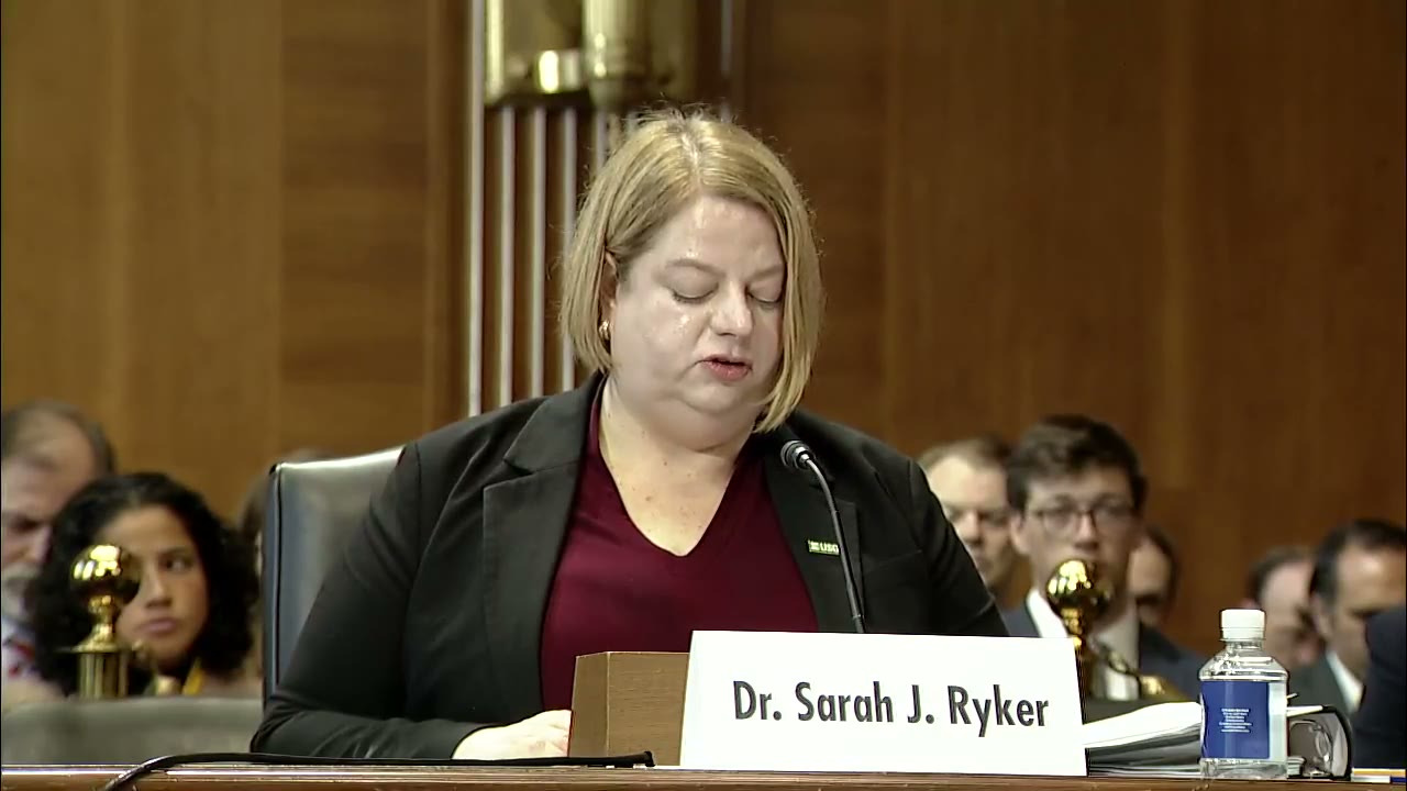
Sarah Ryker
63:55 - 64:12
“Earth MRI has covered nearly 30% of the nation with magnetic and radiometric geophysical surveys. The program has collected other essential geoscience data and has had broader impacts in energy and groundwater resources, hazards, and infrastructure.”
- Speaker
- Sarah Ryker
- Timestamp
- 63:55 – 64:12
- Community
- Alaska News
- Captured at
- September 16, 2026
From the transcript
The USGS launched Earth MRI in 2019 in response to President Trump's issuance of Executive Order 13817, which called for modernizing geological, geophysical, and topographic mapping in areas with potential deposits of critical mineral resources. Earth MRI's partnerships with state geological surveys, other federal agencies including the Department of Energy, and the private sector have led directly to the first national map of areas with critical mineral potential. This helps the USGS prioritize new national— new data collection efforts needed to quantify mineral resource potential and provide stakeholders a shared understanding of the potential distribution of critical mineral resources. Earth MRI has covered nearly 30% of the nation with magnetic and radiometric geophysical surveys. The program has collected other essential geoscience data and has had broader impacts in energy and groundwater resources, hazards, and infrastructure.