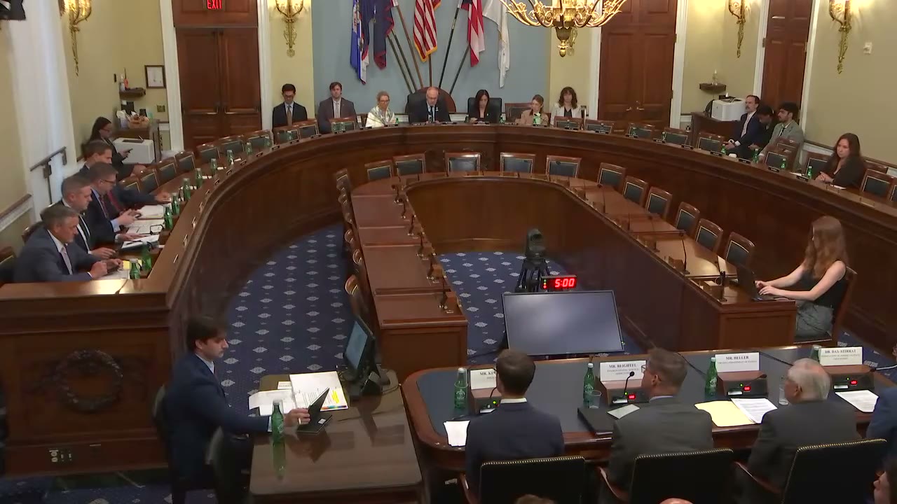
Nick Begich
110:21 - 110:57
"Alaska has the opposite scale problem. Alaska, 365 million acres, most of it federally managed with vast interior regions never mapped by modern methods. What lessons from Virginia's sequencing of geophysical surveys, geochemistry, and field verification would you apply to a coordinated Alaska mapping effort, and how should reauthorization ensure Alaska's scale is met with commensurate investment?"
“Alaska has the opposite scale problem. Alaska, 365 million acres, most of it federally managed with vast interior regions never mapped by modern methods. What lessons from Virginia's sequencing of geophysical surveys, geochemistry, and field verification would you apply to a coordinated Alaska mapping effort, and how should reauthorization ensure Alaska's scale is met with commensurate investment?”
- Speaker
- Nick Begich
- Timestamp
- 110:21 – 110:57
- Community
- Alaska News
- Captured at
- July 21, 2026
From the transcript
My first question to Mr. Heller. Your testimony describes how Earth MRI turned pre-competitive geoscience into resumed heavy mineral sand mining in Virginia. Alaska has the opposite scale problem. Alaska, 365 million acres, most of it federally managed with vast interior regions never mapped by modern methods. What lessons from Virginia's sequencing of geophysical surveys, geochemistry, and field verification would you apply to a coordinated Alaska mapping effort, and how should reauthorization ensure Alaska's scale is met with commensurate investment?
Related Coverage
The program mapping Alaska's unknown ground expires this year
Bipartisan House bills would reauthorize the USGS Earth Mapping Resources Initiative, which has nearly doubled Alaska's public subsurface geologic data since 2019, through 2031.
 by Maggie AlaskaNewsadded 2mo ago1 min read
A permitting bill could open the federal fast lane to Alaska projects
A bipartisan bill would lower the FAST-41 permitting threshold from $200 million to $50 million, opening federal fast-track review to far more Alaska infrastructure projects.
by Maggie AlaskaNewsadded 2mo ago2 min read