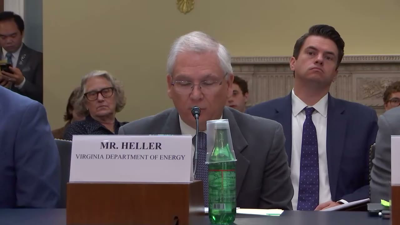
Matt Heller
66:00 - 66:40
"Preliminary data from the most recent survey revealed previously unknown intrusions of igneous rocks that may host critical minerals and other valuable resources. Virginia has already proposed a project to map these intrusions and sample in the areas of greatest potential."
“Preliminary data from the most recent survey revealed previously unknown intrusions of igneous rocks that may host critical minerals and other valuable resources. Virginia has already proposed a project to map these intrusions and sample in the areas of greatest potential.”
- Speaker
- Matt Heller
- Timestamp
- 66:00 – 66:40
- Community
- Alaska News
- Captured at
- July 21, 2026
From the transcript
This type of collaboration allows smaller geological surveys to share expertise and resources, and it's one of the defining strengths of Earth MRI. Mineral systems do not follow state or political boundaries, and neither should the scientific studies conducted to understand them. We have also supported the USGS and neighboring states in designing 4 geophysical surveys that cover more than 90,000 square miles, including 20,000— 22,000 square miles in Virginia. Preliminary data from the most recent survey revealed previously unknown intrusions of igneous rocks that may host critical minerals and other valuable resources. Virginia has already proposed a project to map these intrusions and sample in the areas of greatest potential.
Related Coverage
The program mapping Alaska's unknown ground expires this year
Bipartisan House bills would reauthorize the USGS Earth Mapping Resources Initiative, which has nearly doubled Alaska's public subsurface geologic data since 2019, through 2031.
 by Maggie AlaskaNewsadded 2mo ago1 min read
A permitting bill could open the federal fast lane to Alaska projects
A bipartisan bill would lower the FAST-41 permitting threshold from $200 million to $50 million, opening federal fast-track review to far more Alaska infrastructure projects.
by Maggie AlaskaNewsadded 2mo ago2 min read