Photo by Cale Green · Source
Winter Weather Advisory Issued for Central Brooks Range through Monday
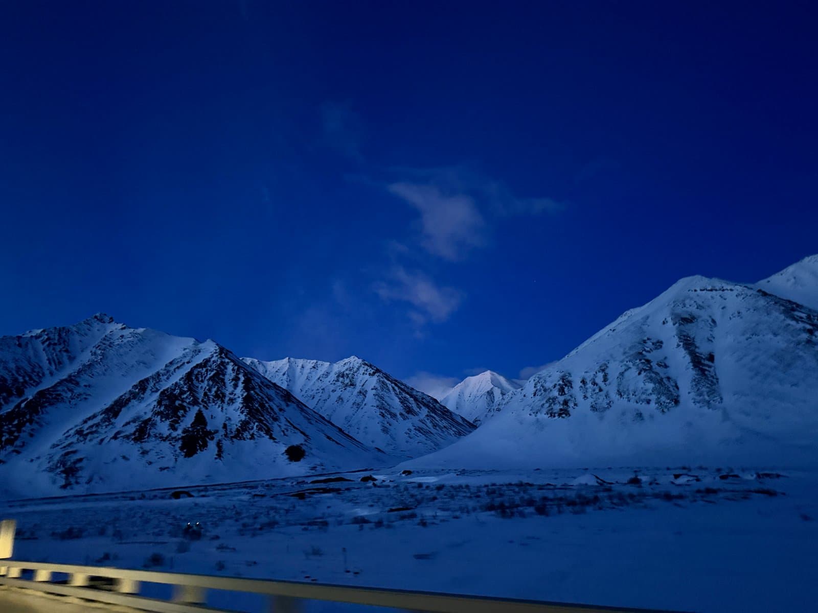
The National Weather Service issued a Winter Weather Advisory for the Central Brooks Range Saturday, forecasting 5 to 10 inches of snow and wind gusts up to 30 mph at Atigun Pass through Monday evening. The advisory replaced an earlier Winter Storm Watch that had predicted 6 to 12 inches.
The heaviest accumulations are expected along the Dalton Highway between Chandalar Shelf, Atigun Pass, Toolik Lake, and Ice Cut Hill. Locally higher totals are expected above pass level. Lighter totals are expected at Anaktuvuk Pass and south of Chandalar Shelf. Blowing snow and reduced visibility are expected to make travel difficult through Monday.
An unseasonably strong arctic trough moving over the North Slope and Brooks Range is driving the event.
The advisory runs from 10 PM Saturday to 10 PM Monday. The National Weather Service advises drivers to slow down and use caution while traveling. Drivers can check 511.alaska.gov or call 511 for current conditions.
AI-assisted, reviewed by editors. Spot an error?
Comments
Sign in to leave a comment.
No comments yet. Be the first to share your thoughts.