North Slope flood watch issued through Wednesday morning
The National Weather Service issued a Flood Watch on June 14 for the Brooks Range and North Slope, warning that rain and snowmelt could flood the Dalton Highway and major rivers through Wednesday morning.
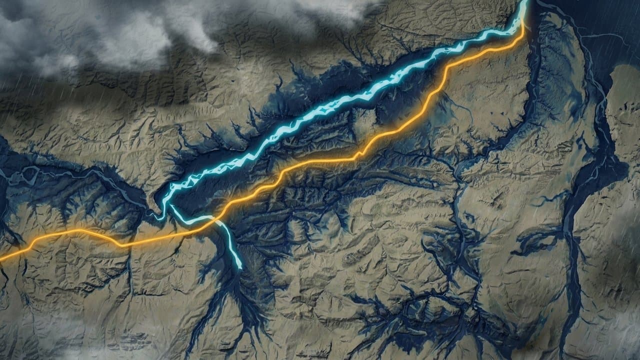
The watch covers the Dalton Highway, Sagavanirktok River, Colville River, and Kuparuk River and their tributaries. Excessive runoff may flood roads, airstrips, and low-lying infrastructure. High flows could erode riverbanks near roads.
Rainfall of 0.5 to 1.0 inches is expected from Sunday night through Wednesday morning across the Brooks Range and North Slope. Temperatures in the Brooks Range will reach the 60s and low 70s, with lows in the upper 30s to mid 40s. The Arctic Plain and Coast will have temperatures ranging from about 40 degrees to 60 degrees with lows in the mid 30s to mid 40s.
Most remaining snowpack sits in the foothills and mountains, where temperatures and rainfall will be highest. The combination of snowmelt and rain is increasingly likely to raise river levels.
Most ice on larger rivers has already moved out, leaving more room to accommodate snowmelt and rainfall. That contrasts with last year's late breakup, when snowmelt entered river systems while ice remained in place.
The highway serves as the overland corridor connecting Interior Alaska to the North Slope oil fields. Truck drivers, freight companies, oil field operators, and Deadhorse-area workers depend on the route. Former DOT representative Frank Richards described it as "the lifeline for Alaska and the oil fields that provide us with the revenues that provide us significant tax and royalty revenues."
The National Weather Service advised residents in flood-prone areas to monitor later forecasts and be alert for possible Flood Warnings.
Sources
Based on: View Transcript
AI-assisted, reviewed by editors. Spot an error?
Comments
Sign in to leave a comment.
No comments yet. Be the first to share your thoughts.