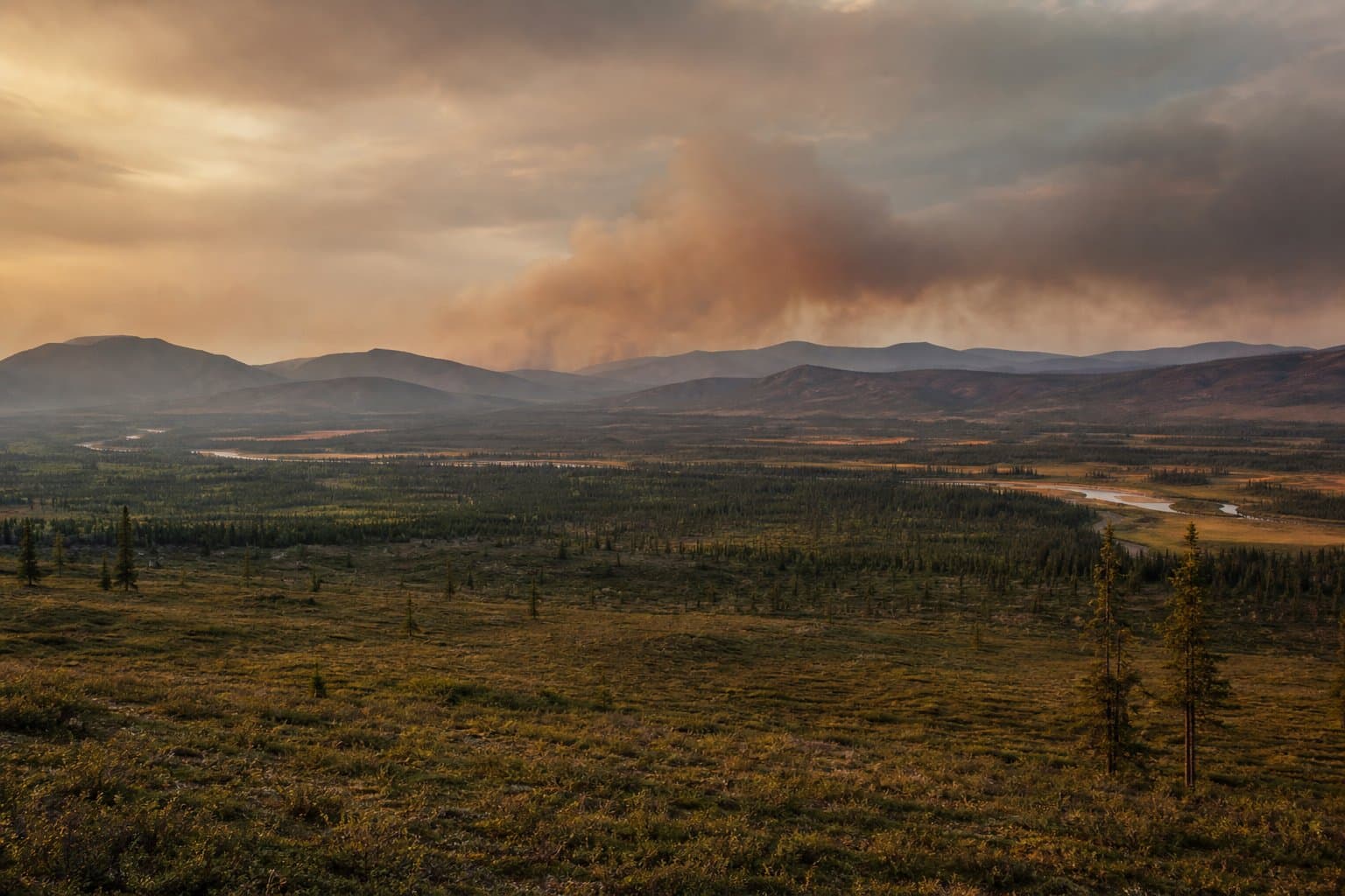
Heat and lightning combine to raise wildfire ignition risk across Yukon Flats and Interior valleys
A cluster of Red Flag Warnings and a multi-day heat advisory are in effect simultaneously across the same stretch of Interior and western Alaska, creating overlapping wildfire ignition risk across remote valleys.
The National Weather Service in Fairbanks issued Red Flag Warnings Wednesday covering the Upper Koyukuk Valley, the Upper Kobuk and Lower Koyukuk valleys, and the Middle Yukon Valley. Those warnings were issued as separate bulletins; the combined-area bulletin covering the Upper Kobuk, Lower Koyukuk, and Middle Yukon Valley listed its affected area as the Upper Kobuk and Lower Koyukuk Valley. Humidity dropped as low as 25 percent in the Upper Koyukuk. Scattered to numerous thunderstorms moved through each zone, carrying frequent lightning and outflow boundaries. "Any lightning can cause new ignitions since the fuels are dry and burnable," NWS Fairbanks said in the warnings.
Interior Alaska has been under repeated red-flag fire-weather episodes since late June, with lightning and dry fuels cited each time as the primary ignition drivers. The Alaska Division of Forestry and Fire Protection warned during a late-June episode that "Critical fire weather conditions are expected due to abundant lightning and dry fuels. Any new fire starts, or existing fires may spread rapidly."
Heat Advisory
The heat advisory for the Yukon Flats runs through 11 p.m. Saturday. NWS Fairbanks is forecasting highs of 85 degrees. The warmest temperatures are expected away from the Yukon River, meaning interior villages face the greatest exposure. The advisory warns that individuals not accustomed to these temperatures may experience heat-related illness. NWS also advises checking on elderly and vulnerable neighbors and notes that vehicle interiors can reach extreme temperatures in as little as 10 minutes.
A separate heat advisory was also in effect for the Western and Central Arctic Plains, where temperatures were expected to reach 80 degrees, with the warmest conditions between 4 p.m. and 11 p.m. AKDT.
As of July 9, NWS Fairbanks reported increasing confidence that a large wildfire smoke plume from northwest Canada would move into Alaska and continue through Saturday. The bulk of the smoke is expected to remain east of Fairbanks as a system moves in from the Bering Sea.
The Red Flag Warnings for the valley zones expired at midnight Wednesday. The Alaska Division of Forestry and Fire Protection and BLM Alaska Fire Service are the authoritative sources for confirmed new starts across these valleys.
AI-assisted, reviewed by editors. Spot an error?
Comments
Sign in to leave a comment.
No comments yet. Be the first to share your thoughts.