AI image
Flood Watch issued for Seward as atmospheric river targets Kenai Peninsula through Tuesday
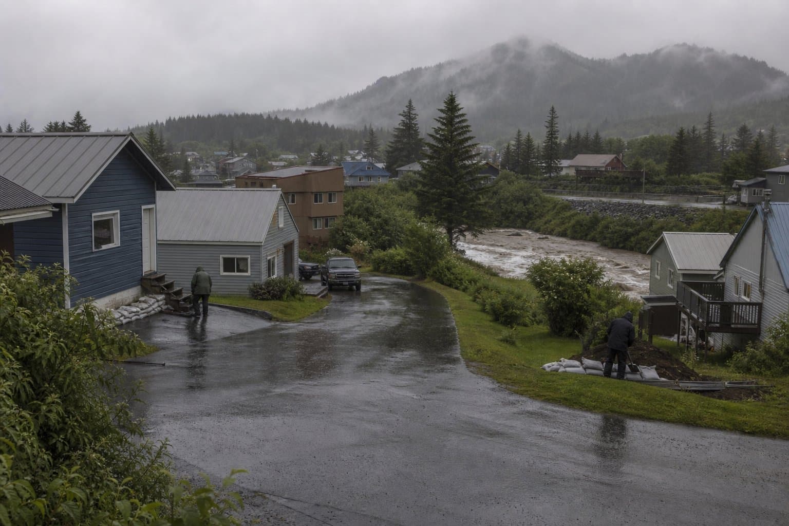
Seward faces potential flooding from early Sunday morning through Tuesday at 10 a.m. AKDT, as the National Weather Service in Anchorage has issued a Flood Watch for the Southern Kenai Mountains covering that window.
An atmospheric river of moisture moving over the southern Kenai Peninsula is expected to produce 3 to 5 inches of rain, with a 70 to 80 percent probability. There is a 20 percent chance totals reach 6 inches. Rain is forecast to begin Saturday evening and continue through Monday night, with the heaviest accumulation between Sunday morning and Monday morning.
People in low-lying areas, neighborhoods with poor drainage, and properties near rivers, creeks, and streams in and around Seward face the greatest risk. NWS Anchorage warned that excessive runoff may flood those waterways and that urban areas with poor drainage are also vulnerable. The watch covers the Southern Kenai Mountains and specifically names Seward as the area of concern. The forecast fits a broader unsettled pattern across Southcentral Alaska, with above-normal precipitation expected to continue into next week.
Residents and recreationists in flood-prone areas should monitor later NWS forecasts and be prepared to take action if flooding develops. The watch can be upgraded to a Flood Warning if flooding becomes imminent. Updates are available at weather.gov.
Assembled from public records the newsroom collected.
Made by our human newsroom with AI. How humans and AI work here · Grow with our newsroom
Stay informed. Support what matters.
Free, permanent access to local news you can verify. Subscribe to support Walter AlaskaNews and go ad-free.
Related Coverage
Seward faces heavy rain and flood risk again, weeks after July storm
Alaska News · 2mo ago
Flood Watch expands to Anchorage and Kenai Peninsula as atmospheric river intensifies
Alaska News · 2mo ago
Rockfall risk added to Anchorage flood watch as second rain round targets Monday commute
Alaska News · 2mo ago
Atmospheric river could drop 3 to 5 inches of rain on southern Southeast in a day
Alaska News · 4d ago
Flood watches and gusts to 55 mph hit southern Southeast as an atmospheric river arrives
Alaska News · 1d ago
Comments
Sign in to leave a comment.
No comments yet. Be the first to share your thoughts.