AI image
Court-ordered review models what a large Donlin Gold dam failure would do downstream
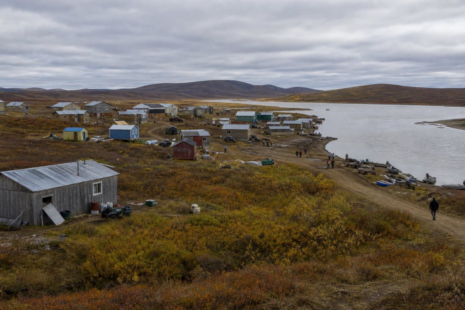
A draft federal review released Sept. 23 lays out what would happen if the tailings dam planned for the Donlin Gold mine failed on a large scale. The U.S. Army Corps of Engineers says a failure of any size "remains extremely unlikely." But in the largest scenarios it modeled, the village of Crooked Creek would likely no longer be habitable.
A federal judge ordered the new analysis. The Corps' 2018 environmental review modeled a spill of only 0.5 percent of the mine's tailings facility, where mining waste would be stored behind the dam. The Orutsararmiut Native Council and other tribes sued, and in September 2024 U.S. District Judge Sharon Gleason found the agencies erred "by failing to consider a tailings spill larger than 0.5%" of the facility's volume. In June 2025, she sent the decision back to the agencies without canceling the mine's permits. Her order does not bar construction, but it requires 90 days' notice to the parties and the court before construction under the permit or right-of-way begins during the review.
The scenarios show what a spill would do if one happened, not how likely one is. The Corps addresses likelihood separately, basing its view on the dam's design: a bedrock foundation, rockfill and a downstream construction method, characteristics it associates with the lowest observed failure rates worldwide. It says no known tailings dam sharing all of those traits has failed. The state Dam Safety Program would oversee the dam, and according to the draft, it would require Donlin to prepare a publicly available emergency action plan, including how downstream residents would be notified and evacuated.
The draft models three spills, releasing 5.4, 13.3 and 27 percent of the tailings facility. In the largest, tailings and water would pour from behind a planned 471-foot dam about 10 miles above Crooked Creek. The flood would reach Crooked Creek in about an hour and a half, Chuathbaluk in about nine and a half hours, Aniak in under 15 hours and Kalskag in about 22, and sooner at Chuathbaluk and Aniak during flood season. The Kuskokwim River would rise 11.1 feet just below the Crooked Creek confluence and about 2 feet at Chuathbaluk and Aniak.
Even the smallest of the new scenarios would require evacuating parts of Crooked Creek. In the middle scenario, tailings could lie 3 to 30 feet deep in places, and the draft finds the village would likely no longer be habitable. In the largest, the airstrip would flood completely, tailings would reach 10 to 30 feet deep, and the draft says the potential for loss of life would increase. The draft's executive summary describes the largest scenario more narrowly, saying it could make parts of the village uninhabitable.
The draft also finds that larger spills could harm fish populations in Crooked Creek for years to decades, with the largest potentially causing effects lasting generations. Thousands of acres of wetlands would be buried or eroded, with recovery taking decades to more than a century. Farther downstream, the draft says, the Kuskokwim's much larger volume is expected to dilute contaminants and limit their effects, though water levels and turbidity would rise temporarily. The Bureau of Land Management found, as it did in 2018, that the project may significantly restrict subsistence in parts of the project area, which requires formal subsistence hearings alongside the Corps meetings.
Donlin Gold is owned by NovaGold and investment funds managed by Paulson Advisers, and NovaGold has agreed to buy Paulson's share in a deal expected to close by the end of the year. The mine site is on land selected by Calista Corp. and The Kuskokwim Corp.
Public comment is open through Oct. 23. Each hearing is both a Corps public meeting on the draft and a federal subsistence hearing, where people can comment in person: in Bethel on Oct. 14 from 2 to 6 pm at the Kuskokwim Campus, in Crooked Creek on Oct. 15 from 1:30 to 3:30 pm at the Crooked Creek Tribal Offices, in Aniak on Oct. 16 from 11 am to 2 pm at the Arviiq Regional Economic Development and Training Center, and online Oct. 19 from 6 to 8 pm, with advance registration required. The Corps and the Bureau of Land Management plan to decide by May 28, 2027, whether to modify, reaffirm or rescind the mine's permit and right-of-way. Comment and hearing details are posted at donlingoldseis.com.
Editor's note: An earlier version of this story said federal agencies will decide by May 28, 2027; they plan to decide by that date, which is not a court-ordered deadline. The headline and opening were also revised to make clear the review models hypothetical dam failures, which the Corps considers extremely unlikely.
Source: A court-ordered federal review says a large Donlin dam failure would likely leave Crooked Creek uninhabitable; comments close 23 October.
AI-assisted. Reviewed by Cale Green. How we use AI
Stay informed. Support what matters.
Free, permanent access to local news you can verify. Subscribe to support Walter AlaskaNews and go ad-free.
Related Coverage
A placer mine near Ruby would work 35 acres of creek for a decade
Alaska News · 1mo ago
Three Aleutians dams could be reclassified as threats to life downstream
Alaska News · 2w ago
Donlin Gold targets 2027 investment decision on $10B Alaska mine
Alaska News · 4mo ago
EPA proposes $21,618 penalty over Red Dog Mine spill into Red Dog Creek
Alaska News · 5d ago
Draft permit would let Fairbanks discharge 11.2 million gallons a day into the Tanana
Alaska News · 2w ago
Comments
Sign in to leave a comment.
No comments yet. Be the first to share your thoughts.