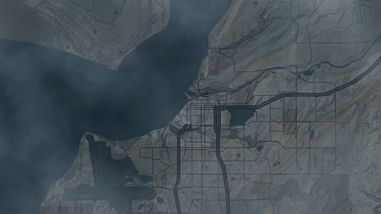
Editorial map (Gemini + Google Maps)
Anchorage Assembly to consider study of building rules in high-hazard earthquake zones
The Anchorage Assembly on Tuesday will consider asking city staff to study whether building and zoning rules should change in the parts of town where the ground is most likely to give way in a major earthquake.
The resolution, from Midtown Assembly Member Erin Baldwin Day, comes as Anchorage's earthquake hazard maps are being revised. The current maps are based on ones first drawn in 1979 from data from the 1964 earthquake, according to the resolution. The new maps are expected before the end of 2026.
The 1964 earthquake killed at least nine people in Anchorage. In the Turnagain Slide alone, 200 acres of land gave way and 75 homes were destroyed, according to the city's Geotechnical Advisory Commission.
The areas in question are Seismic Hazard Zones 4 and 5, which the city's maps rate as having high or very high susceptibility to ground failure. They include parts of downtown.
Under the resolution, planning and building staff would form a working group. Once the new maps come out, the group would have 180 days to recommend whether the city's building code needs new resilience standards for buildings in those zones, and whether the city should create a special zoning district to limit risk there.
The housing connection
The resolution ties itself to the debate over the Missing Middle Housing Opportunity overlay, which Baldwin Day also sponsors. The overlay would let owners of about 28,000 residential lots opt into rules allowing duplexes, triplexes and more of each lot to be covered by buildings, Alaska News reported Oct. 8.
That proposal "sparked community concern" about housing density in Zones 4 and 5, the resolution says. Some residents argued that more lot coverage and buildings 35 or 40 feet tall, instead of 30, could make those areas unsafely dense.
Assembly Member Janice Park, also of Midtown, has offered a substitute that would leave Zones 4 and 5 out of the overlay. The Assembly postponed its vote on the overlay to Nov. 4.
Baldwin Day writes that factoring seismic risk into zoning is "a policy decision" that needs careful study by city staff, community experts and emergency management professionals first.
What the experts said
The city's Geotechnical Advisory Commission took up the question this fall. At a Sept. 29 meeting, one commission member moved to recommend leaving Zones 4 and 5 out of the housing overlay. Others argued that the risk is a question for the building code, not zoning. The motion never came to a vote.
On Oct. 1, the commission voted 5-0, with four members absent, to recommend deliberate land use policy in Zones 4 and 5, new resilience standards in the building code and a committee to put the updated maps to use. It also said it is not possible to limit all development in those areas. It did not mention the housing overlay.
Source: Anchorage Assembly consent agenda carries a call for a seismic hazard working group, after geotechnical advisers stopped short of asking to keep Zones 4 and 5 out of the housing overlay.
Made by our human newsroom with AI. Reviewed by Cale Green. How humans and AI work here · Grow with our newsroom
Stay informed. Support what matters.
Free, permanent access to local news you can verify. Subscribe to support Walter AlaskaNews and go ad-free.
Related Coverage
Anchorage housing overlay hearing carries to Oct. 6 after divided testimony
Alaska News · 1mo ago
Anchorage wants 10,000 homes. Its zoning fight is over where they can fit.
Alaska News · 1mo ago
Anchorage takes another run at its missing-middle housing rules
Alaska News · 2mo ago
Anchorage takes another run at 'missing middle' housing
Alaska News · 3mo ago
Anchorage Assembly reviews missing middle housing overlay for transit corridors
Alaska News · 4mo ago
Comments
Sign in to leave a comment.
No comments yet. Be the first to share your thoughts.