Polly Fire burns near Taylor Highway milepost 110, smoke warning issued
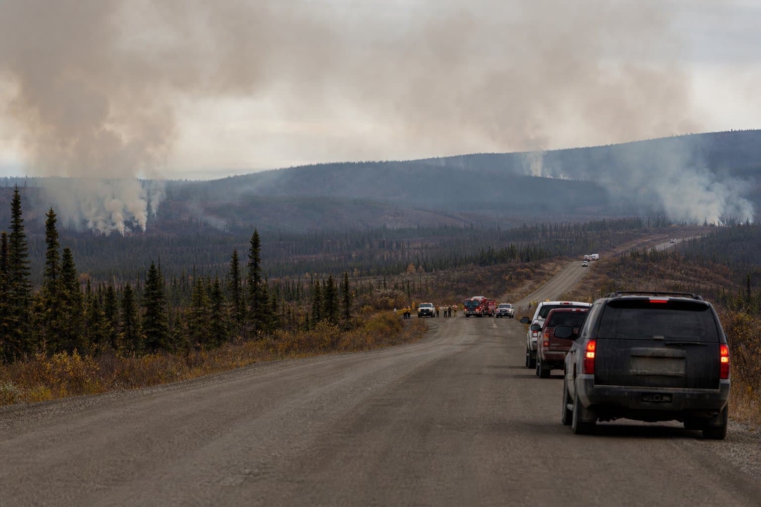
A wildfire detected after a significant lightning event is burning about one-third of a mile west of the Taylor Highway near milepost 110, west of Polly Creek. Drivers on the corridor between Chicken and Eagle should expect possible smoke and must yield to active firefighting traffic. Stopping along the highway in the fire area is prohibited.
The U.S. Wildland Fire Service warned that the Polly Fire could reduce visibility along Alaska Highway 5 near milepost 110. Drivers should use caution, yield to firefighting equipment, and not stop in the fire area. For updated fire information, visit akfireinfo.com or the Alaska Fire Service on Facebook.
Firefighters with the Alaska Range Suppression Module set up hoses and sprinklers to protect a bridge and nearby cabins in the area. The module is assigned to the fire because it is burning in a Limited Management Option Area, where, as the agency said in its June 24 advisory, fire "is generally allowed to play its natural ecological role unless it threatens identified sites of value."
The fire sits roughly 21 miles north of Chicken and 35 miles south of Eagle. The Taylor Highway connects the two remote communities, and the fire's location near milepost 110 places it along that corridor. The Polly Fire was detected June 20 following a significant lightning event.
The Taylor Highway is open seasonally from April to mid-October.
AI-assisted, reviewed by editors. Spot an error?
Comments
Sign in to leave a comment.
No comments yet. Be the first to share your thoughts.