NWS issues late-June winter weather advisory for Northwest Arctic Coast
A Winter Weather Advisory for the Northwest Arctic Coast from Point Lay to Utqiagvik takes effect at 10 p.m. Tuesday and runs through 7 a.m. Thursday, July 2, with mixed precipitation expected to bring snow and ice to a stretch of Alaska where air and coastal travel are the primary connections between communities.
The National Weather Service in Fairbanks issued the advisory Tuesday, covering the Western, Northwest, and Northern Arctic coasts. The specific stretch highlighted in the alert runs from Point Lay to Utqiagvik. The advisory calls for snow accumulations up to one inch and a light ice glaze. The National Weather Service said travel may be impacted and advised people to slow down and use caution.
The NWS Fairbanks Area Forecast Discussion issued Tuesday described "cool and showery conditions" continuing across the state over the coming days. The office also posted publicly that "the corridor from the Dalton Highway Summits to the Eastern Arctic Coast is likely to see snow with wintry mix and freezing rain chances strengthening," pointing to a broad system affecting the region.
The NOAA Climate Prediction Center's hazards outlook for early July notes that transient shortwaves moving across Alaska favor below-average temperatures and enhanced precipitation, but characterizes those values as remaining below defined hazardous thresholds. The advisory lists the event as moderate severity, expected urgency, and likely certainty.
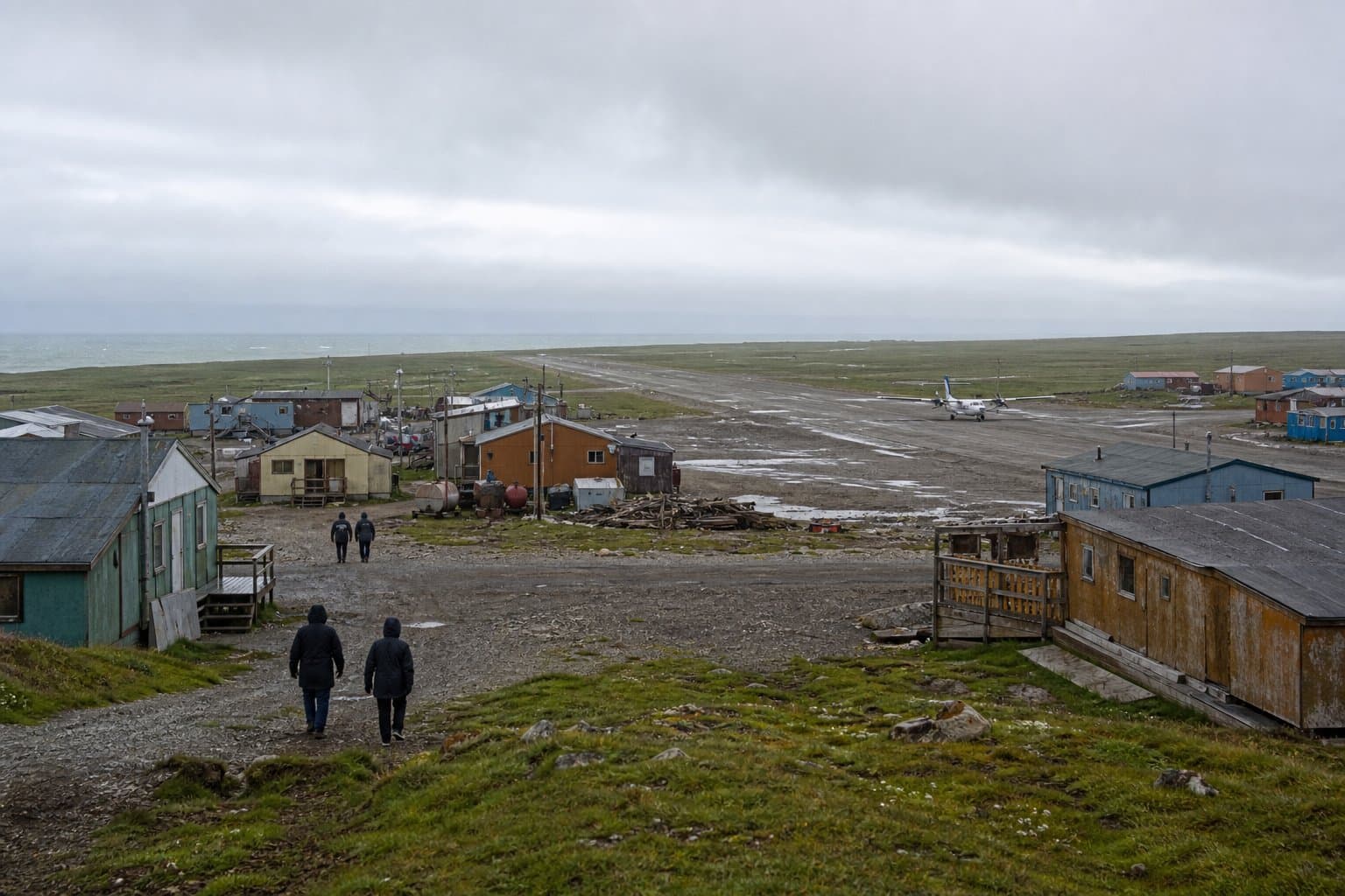
The communities between Point Lay and Utqiagvik are not connected by road. The advisory remains in effect until 7 a.m. Thursday. Conditions should be monitored through NWS Fairbanks and Alaska 511.
AI-assisted, reviewed by editors. Spot an error?
Comments
Sign in to leave a comment.
No comments yet. Be the first to share your thoughts.