NWS Anchorage puts 90% odds on strong El Niño hitting Southern Alaska this autumn
Southern Alaska is heading into autumn and winter with a 90% chance of a strong El Niño event, and a 63% chance it will be classified as very strong, according to a seasonal climate outlook the National Weather Service Anchorage issued July 6, 2026.
The outlook puts a 50-60% probability on above-normal temperatures for Southern Alaska in both autumn 2026 and winter 2026-27. The Alaska Peninsula and Aleutians west to Atka carry a 40-50% chance of above-normal warmth. There is no clear signal for above or below normal temperatures west of Atka in winter. Above-normal precipitation is favored for the Western Kenai Peninsula, Kodiak Island, Southwest Alaska, and the Alaska Peninsula in autumn. There is no clear precipitation signal east of Cook Inlet or west of Atka. In winter, above-normal precipitation is favored for Southcentral Alaska, including Kodiak Island. Coastal areas are likely to see more of that precipitation fall as rain rather than snow, because warmer air accompanies the storm systems El Niño drives north into the Gulf of Alaska.
NWS Anchorage describes El Niño's influence as a "thumb on the scale" rather than a guarantee. Forecasters in the NWS Alaska Region's extended outlook video series have reinforced that framing. "El Niño winters and summers can be cool, but they're usually not," a briefer said in the April 17, 2026 Alaska Extended Outlook video. "A warm El Niño summer is more than twice as likely."
What the historical record shows
The historical record adds important context to the warm-and-wet forecast framing. The 2015-16 very strong El Niño brought well-above-normal temperatures across Southern Alaska and the Aleutians, but precipitation split sharply: above normal along the immediate coast, well below normal across interior Southern Alaska and the Aleutians. The more recent 2023-24 moderate El Niño brought above-normal temperatures across Southern Alaska and the Aleutians, with above-normal precipitation along the coast and near-normal conditions elsewhere. NWS Alaska Region's own historical analysis of strong El Niño winters points to a dryness signal across much of the state, a pattern that challenges a blanket assumption of a wetter season inland.
What it means on the ground
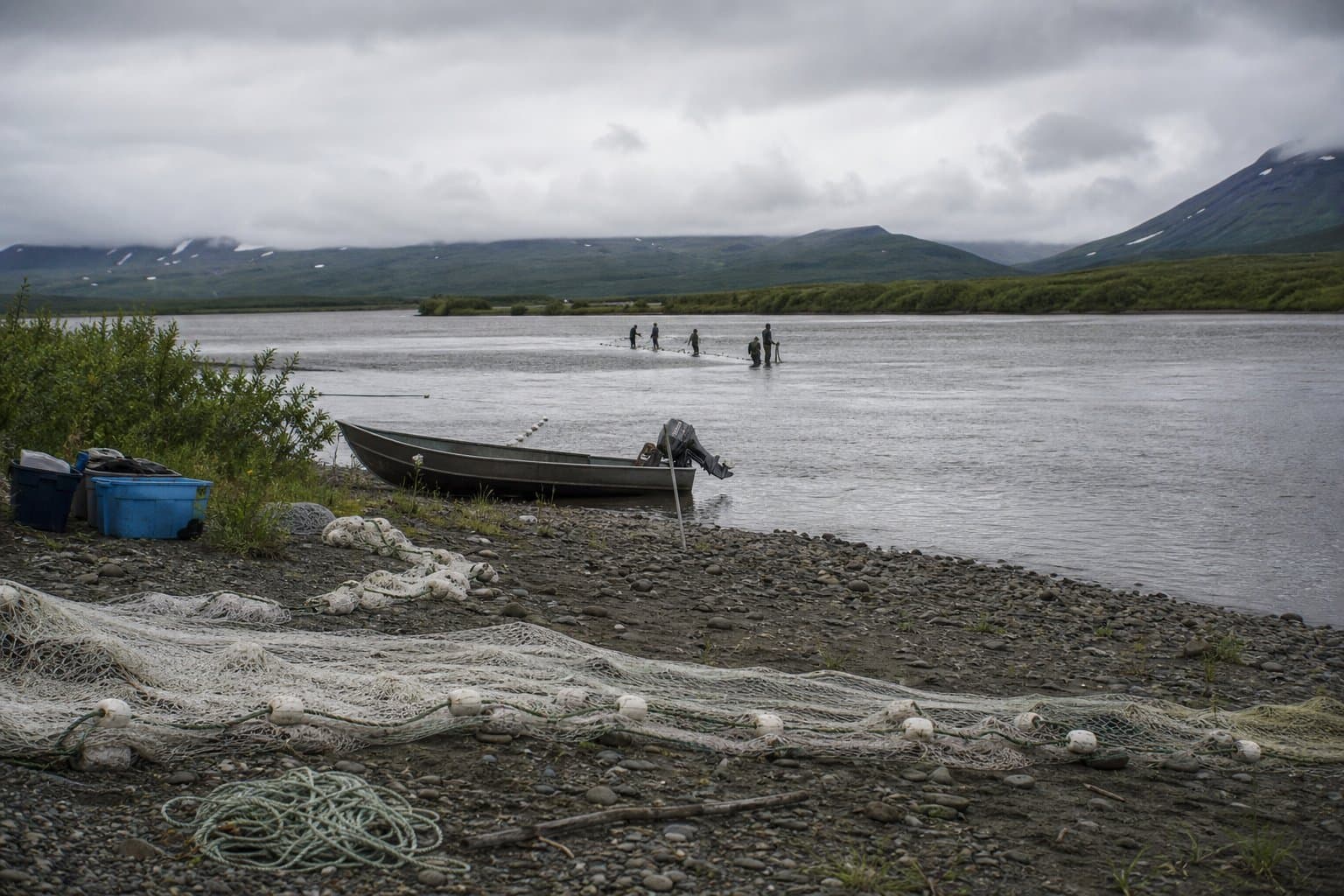
For subsistence users and rural communities, the more immediate seasonal signal may be river breakup timing. El Niño events typically correlate with earlier spring breakups driven by reduced snowpack and above-normal spring temperatures. Earlier breakups tend to favor rapid thermal ice-out, which reduces ice-jam flooding risk but also shifts the seasonal calendar that subsistence hunters and fishers depend on for safe river travel and harvest timing.
The outlook carries no clear signal on Bering Sea sea ice. Since satellite records began, five El Niño events produced above-average ice coverage and six produced below-average coverage, leaving that question open.
AI-assisted, reviewed by editors. Spot an error?
Comments
Sign in to leave a comment.
No comments yet. Be the first to share your thoughts.