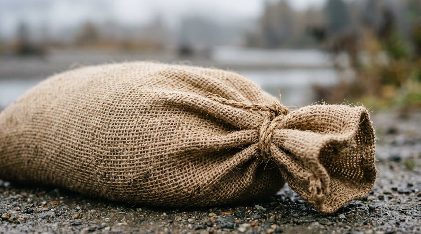
AI image
Juneau's new flood evacuation maps were in use within a month
Juneau updated its Mendenhall Valley evacuation maps in July. By Aug. 12 the city was telling people to leave, as Suicide Basin drained and the Mendenhall River crossed major flood stage the following day.
Those maps are still the current ones, posted on the city's flood preparedness page with separate exit routes for the upper and lower valley. Residents west of the river are directed away from the Back Loop Bridge. Both Mendenhall River bridges are expected to stay open in a flood, though the city's emergency programs manager, Ryan O'Shaughnessy, has said the approaches to them could be a problem.
The valley has flooded this way every year since 2011. Suicide Basin, a side basin held back by the Mendenhall Glacier, fills with meltwater until it releases downstream all at once. The 2024 release was the largest on record and damaged more than 300 homes.
The city has finished installing and expanding the HESCO barriers along the river, the wire-and-fabric baskets filled with sand and gravel that serve as a temporary levee. Assembly Member Nano Brooks said the Assembly is still looking for a permanent solution.
The city says current risk is low and monitoring continues.
Source: Local Emergency Planning Committee.
Made by our human newsroom with AI. How humans and AI work here · Grow with our newsroom
Stay informed. Support what matters.
Free, permanent access to local news you can verify. Subscribe to support Walter AlaskaNews and go ad-free.
Related Coverage
HESCO barrier repair was a week from done, Juneau committee told
Alaska News · 2mo ago
Juneau's flood barriers are finished before Suicide Basin lets go
Alaska News · 2mo ago
Juneau to Mendenhall Valley: the next glacial flood is coming, plan now
Alaska News · 2mo ago
Juneau's glacial flood was the mildest yet, but barrier costs are climbing
Alaska News · 2mo ago
Juneau board to hear flood update as barrier upkeep costs climb
Alaska News · 1mo ago
Comments
Sign in to leave a comment.
No comments yet. Be the first to share your thoughts.