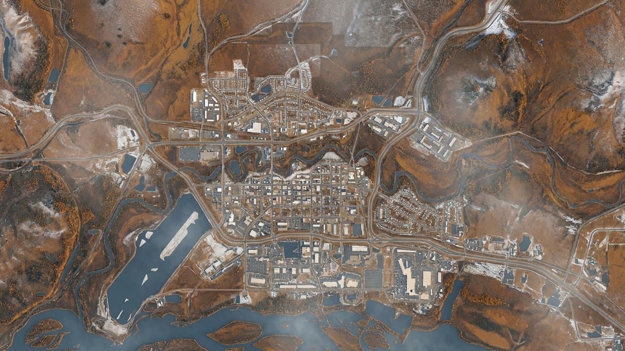
Editorial map (Gemini + Google Maps)
Fairbanks-area draft 20-year transportation plan totals more than $1.6 billion
Fairbanks-area residents have until Oct. 30 to comment on a draft 20-year transportation plan that lists 230 projects, programs and plans worth more than $1.6 billion.
The draft comes from Fairbanks Area Surface Transportation Planning, the transportation planning organization for Fairbanks and North Pole, and covers recently added Moose Creek, Eielson Air Force Base and more of Farmers Loop Road. FAST Planning calls it an interim plan. It keeps the area's air quality certification current while FAST updates its travel model to fit a new statewide modeling framework the state transportation department is leading, and a larger update will follow, according to the draft.
Among projects the plan expects funding for, the biggest single project, at an estimated $107 million, is the replacement of the two Chena Flood Control bridges at Richardson Highway Mile 346, where the highway crosses levees and channels built after the 1967 flood. That work is already under way. Next is a $95 million interchange at the Steese and Johansen expressways, in the plan's 2032-2036 period. The plan lists a $40 million rebuild of the Airport Way and Cushman Street intersection in the same period, and a $60 million replacement of the Steese Expressway bridge over the Chena River in 2037 through 2046.
On a separate list of projects beyond 2046 that the plan does not match to expected funding is a $500 million realignment moving railroad tracks and the rail yard south of the urban core to reduce road-rail crossing conflicts. Rail realignment has been discussed for decades and is unlikely within the planning horizon, the draft says.
In the plan's fall 2025 survey, which drew 158 responses, Airport Way got 33 nominations for the area's ugliest road, the most of any road. Those who explained the pick most often cited chain link fencing and jersey barriers. The draft lists $12 million in 2027 through 2031 for converting some Airport Way frontage roads to paths and landscaping under the 2018 Airport Way Functional Features Plan, after a $700,000 access control study. FAST Planning's two-year work program says recommendations from that 2018 plan and a 2007 study have not advanced, and it sets aside $10,000 for a new corridor audit.
The draft forecasts daily driving in the area to grow about 22% between 2021 and 2050 and daily delay about 78%. Even then, delay would be about 1% of all driving time, and more than nine of every 10 road miles would still earn the best traffic grade at the afternoon peak. What delay there is would concentrate on major roads near downtown Fairbanks.
Among nearer-term items, the plan lists a study of whether to convert downtown Fairbanks' one-way streets to two-way.
Source: Fairbanks Area Surface Transportation Planning.
Made by our human newsroom with AI. Reviewed by Cale Green. How humans and AI work here · Grow with our newsroom
Stay informed. Support what matters.
Free, permanent access to local news you can verify. Subscribe to support Alaska News and go ad-free.
Related Coverage
Fairbanks-area plan projects draw $13 million in federal highway obligations
Alaska News · 2w ago
Alaska put $5.63 billion in road and ferry plans out for comment
Alaska News · 1mo ago
Alaska's $7.74 billion transportation plan is open for public comment
Alaska News · 3w ago
State presents $5.63 billion transportation plan Tuesday, seeks public comment
Alaska News · 1w ago
Copper Valley's first 20-year transportation plan lists $848 million in projects
Alaska News · 1d ago
Comments
Sign in to leave a comment.
No comments yet. Be the first to share your thoughts.