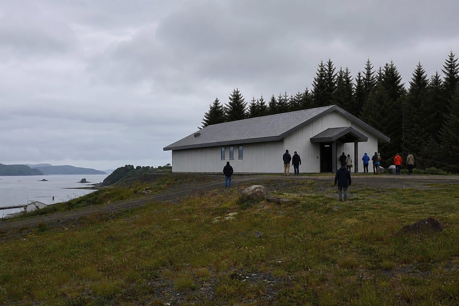
Kodiak Borough set to rezone former Ouzinkie Airport parcel for tsunami shelter
The Kodiak Island Borough Assembly is scheduled to vote July 16 on a rezone that would give Ouzinkie a formally designated, legally zoned tsunami shelter, correcting a land-use designation left over from a closed airstrip.
The ordinance would change a parcel on the former Ouzinkie Airport from R1 single-family residential to PL public use land. The Native Village of Ouzinkie submitted the rezone application with authorization from the City of Ouzinkie so an existing building on the property can legally serve as a tsunami shelter and tribal government offices. The Kodiak Island Borough Planning and Zoning Commission recommended approval 4-0 on May 20, with two commissioners absent and one seat vacant.
Community Development Director Chris French said the current designation no longer fits the site's function. "The proposed tsunami structure site needs to be rezoned into an appropriate zone for its use as a tsunami shelter, tribal office and multi-purpose building," French said in the rezone application.
Ouzinkie sits on Spruce Island, reachable only by boat or small aircraft. The City of Ouzinkie's Community Emergency Response Plan calls for evacuating residents to designated shelters on higher ground during a tsunami, but the building housing that function has carried the wrong zoning designation. The staff report states the rezone corrects that gap.
The ordinance also changes the future land use map designation for the property from industrial to public use. It takes effect only when the final plat for preliminary subdivision S26-016, which created the subject property and extends the G Street right-of-way, is filed, making the legal change contingent on completing the platting process. The Assembly advanced the ordinance to public hearing unanimously at its July 2 meeting.
AI-assisted, reviewed by editors. Spot an error?
Comments
Sign in to leave a comment.
No comments yet. Be the first to share your thoughts.